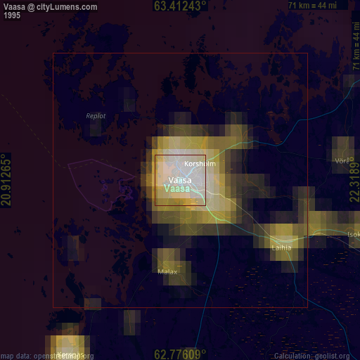
Vaasa night lights from space
Night Light of Vaasa (Ostrobothnia) from space (Finland) Src. Average luminocity for 10x10km area is 51.7321% and for 50x50km: 3.92%.
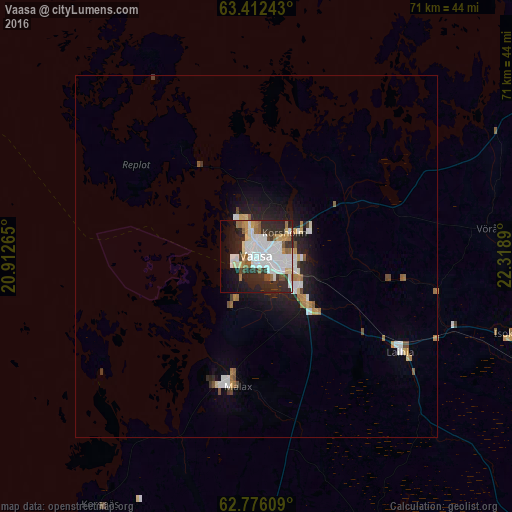
Analysis of Vaasa night lights 2016
Square area 10x10 km:
 16.07%
90-99
15.08%80-89
3.37%70-79
3.57%60-69
4.37%50-59
3.97%40-49
2.58%30-39
5.36%20-29
19.35%10-19
13.49%0-9
12.8%Square area 50x50 km:
0.86%90-99
0.85%80-89
0.3%70-79
0.3%60-69
0.46%50-59
0.35%40-49
0.28%30-39
0.32%20-29
1.32%10-19
2.48%0-9
92.49%Clear (daylight) street map image can be seen on geolist.org.
Map coordinates:
63° 24' 44.7" North, 20° 54' 45.5" East
63° 5' 45.6" North, 21° 36' 56.8" East
62° 46' 33.9" North, 22° 19' 8" East
Some cities around Vaasa sort by population:
• Korsholm
3.9 km =2.4 mi,  58°
58°
• Ilmajoki
62.8 km =39 mi,  129°
129°
• Kurikka
67 km =41.6 mi,  142°
142°
• Laihia
24 km =14.9 mi,  123°
123°
• Nykarleby
65.9 km =40.9 mi,  43°
43°
• Ylistaro
48.5 km =30.1 mi,  111°
111°
• Malax
17.2 km =10.7 mi,  187°
187°
• Isokyrö
37.3 km =23.2 mi,  104°
104°
632978 (p: 57,014)
Sources (retrieved 2019-11-25):
» NASA, Earths city lights 1995
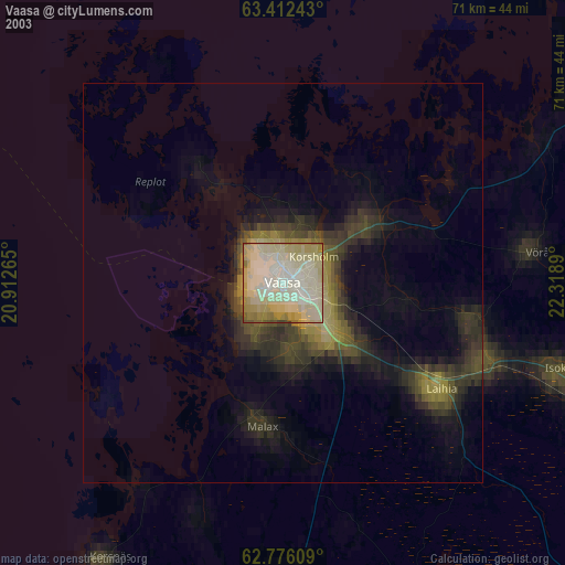
» NASA city lights 2003
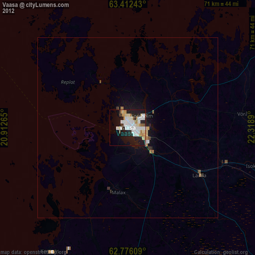
» Earth at Night: Flat Maps 2012, 2016