Salo night lights from space
Night Light of Salo (Southwest Finland) from space (Finland) Src. Average luminocity for 10x10km area is 33.7165% and for 50x50km: 2.331%.
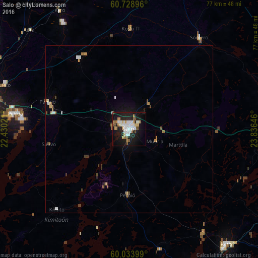
Analysis of Salo night lights 2016
Square area 10x10 km:
 7.79%
7.79%90-99
7.68%80-89
3.14%70-79
4.33%60-69
2.16%50-59
3.68%40-49
1.84%30-39
0%20-29
12.01%10-19
30.63%0-9
26.73%Square area 50x50 km:
0.39%90-99
0.42%80-89
0.22%70-79
0.32%60-69
0.26%50-59
0.24%40-49
0.21%30-39
0.19%20-29
0.52%10-19
1.7%0-9
95.54%Clear (daylight) street map image can be seen on geolist.org.
Map coordinates:
60° 43' 44.3" North, 22° 25' 48.8" East
60° 22' 60" North, 23° 7' 60" East
60° 2' 2.4" North, 23° 50' 11.3" East
Some cities around Salo sort by population:
• Kaarina
42.1 km =26.2 mi,  273°
273°
• Lieto
39.4 km =24.5 mi,  290°
290°
• Paimio
25.8 km =16 mi, 288°
• Somero
34 km =21.1 mi,  40°
40°
• Halikko
3.3 km =2.1 mi,  304°
304°
• Piikkiö
34.2 km =21.3 mi,  277°
277°
• Perniö
20.4 km =12.7 mi,  180°
180°
• Pohja
38.6 km =24 mi,  145°
145°
637948 (p: 24,900)
Sources (retrieved 2019-11-25):
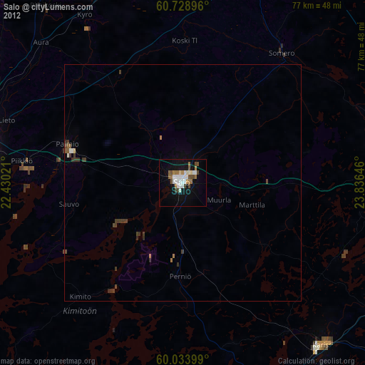
» Earth at Night: Flat Maps 2012, 2016