Orivesi night lights from space
Night Light of Orivesi (Pirkanmaa) from space (Finland) Src. Average luminocity for 10x10km area is 9.2915% and for 50x50km: 3.2502%.
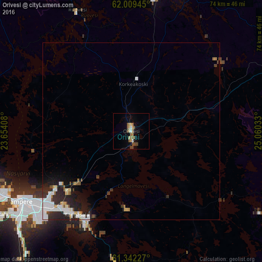
Analysis of Orivesi night lights 2016
Square area 10x10 km:
 0.2%
0.2%90-99
1.09%80-89
1.48%70-79
1.09%60-69
1.78%50-59
2.57%40-49
2.67%30-39
0.2%20-29
0%10-19
2.08%0-9
86.86%Square area 50x50 km:
0.79%90-99
0.68%80-89
0.24%70-79
0.3%60-69
0.22%50-59
0.3%40-49
0.34%30-39
0.36%20-29
1.32%10-19
1.76%0-9
93.7%Clear (daylight) street map image can be seen on geolist.org.
Map coordinates:
62° 0' 34" North, 23° 39' 14.7" East
61° 40' 39.6" North, 24° 21' 25.9" East
61° 20' 32.2" North, 25° 3' 37.2" East
Some cities around Orivesi sort by population:
• Tampere
36.1 km =22.4 mi,  236°
236°
• Kangasala
28.1 km =17.5 mi,  212°
212°
• Ylöjärvi
42.4 km =26.3 mi,  251°
251°
• Pirkkala
45.3 km =28.1 mi, 237°
• Jämsä
48.5 km =30.1 mi,  64°
64°
• Mänttä
41.7 km =25.9 mi,  19°
19°
• Vilppula
39 km =24.2 mi,  11°
11°
• Ruovesi
37.7 km =23.4 mi,  335°
335°
643629 (p: 8,846)
Sources (retrieved 2019-11-25):
» Earth at Night: Flat Maps 2012, 2016