Nokia night lights from space
Night Light of Nokia (Pirkanmaa) from space (Finland) Src. Average luminocity for 10x10km area is 38.5569% and for 50x50km: 11.7351%.
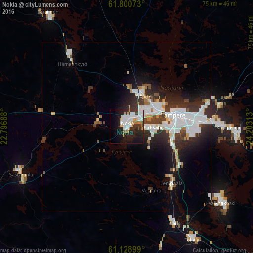
Analysis of Nokia night lights 2016
Square area 10x10 km:
 11.49%
90-99
10.25%80-89
2.69%70-79
3.83%60-69
3.31%50-59
1.76%40-49
0.41%30-39
3.83%20-29
12.94%10-19
23.4%0-9
26.09%Square area 50x50 km:
3.78%90-99
2.5%80-89
0.69%70-79
0.69%60-69
0.84%50-59
0.74%40-49
0.88%30-39
2.1%20-29
3.78%10-19
5.8%0-9
78.19%Clear (daylight) street map image can be seen on geolist.org.
Map coordinates:
61° 48' 2.6" North, 22° 47' 48.8" East
61° 28' 0" North, 23° 30' 0" East
61° 7' 44.4" North, 24° 12' 11.3" East
Some cities around Nokia sort by population:
• Tampere
15.7 km =9.8 mi,  76°
76°
• Kangasala
30.6 km =19 mi,  90°
90°
• Ylöjärvi
11.2 km =7 mi,  27°
27°
• Lempäälä
21.3 km =13.2 mi,  141°
141°
• Pirkkala
7.1 km =4.4 mi, 94°
• Vammala
35.2 km =21.9 mi,  245°
245°
• Hämeenkyrö
25.1 km =15.6 mi,  319°
319°
• Viiala
31.9 km =19.8 mi,  153°
153°
644450 (p: 28,676)
Sources (retrieved 2019-11-25):
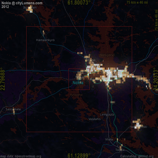
» Earth at Night: Flat Maps 2012, 2016