Seinäjoki night lights from space
Night Light of Seinäjoki (Southern Ostrobothnia) from space (Finland) Src. Average luminocity for 10x10km area is 42.4403% and for 50x50km: 4.5255%.
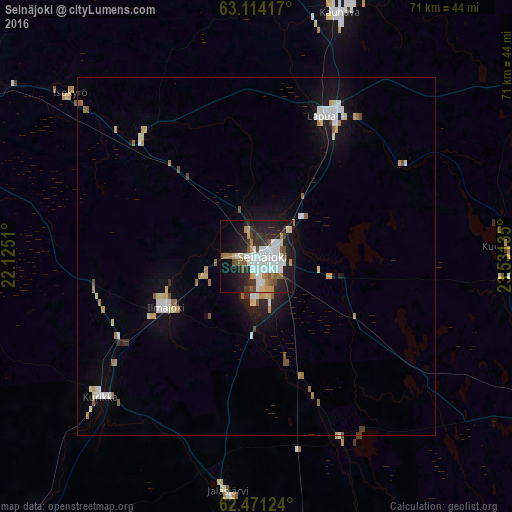
Analysis of Seinäjoki night lights 2016
Square area 10x10 km:
 10.7%
10.7%90-99
10.89%80-89
3.22%70-79
4.17%60-69
2.46%50-59
5.11%40-49
4.26%30-39
3.79%20-29
14.49%10-19
22.92%0-9
17.99%Square area 50x50 km:
0.81%90-99
0.94%80-89
0.51%70-79
0.41%60-69
0.47%50-59
0.52%40-49
0.31%30-39
0.29%20-29
0.81%10-19
3.25%0-9
91.68%Clear (daylight) street map image can be seen on geolist.org.
Map coordinates:
63° 6' 51" North, 22° 7' 30.4" East
62° 47' 40.1" North, 22° 49' 41.6" East
62° 28' 16.5" North, 23° 31' 52.9" East
Some cities around Seinäjoki sort by population:
• Lapua
21.5 km =13.4 mi,  25°
25°
• Nurmo
5.6 km =3.5 mi,  47°
47°
• Ilmajoki
14.9 km =9.3 mi,  242°
242°
• Kurikka
28.8 km =17.9 mi,  226°
226°
• Jalasjärvi
33 km =20.5 mi,  186°
186°
• Kauhava
36.4 km =22.6 mi,  19°
19°
• Ylistaro
22.7 km =14.1 mi,  315°
315°
• Isokyrö
34.8 km =21.6 mi,  313°
313°
637219 (p: 32,149)
Sources (retrieved 2019-11-25):
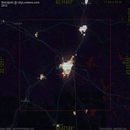
» Earth at Night: Flat Maps 2012, 2016