Zarautz night lights from space
Night Light of Zarautz (Basque Country) from space (Spain) Src. Average luminocity for 10x10km area is 16.0606% and for 50x50km: 9.9814%.
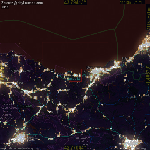
Analysis of Zarautz night lights 2016
Square area 10x10 km:
 0.76%
0.76%90-99
2.88%80-89
0.61%70-79
2.42%60-69
2.73%50-59
4.24%40-49
0.61%30-39
1.06%20-29
2.88%10-19
3.64%0-9
78.18%Square area 50x50 km:
1.68%90-99
1.78%80-89
0.87%70-79
0.79%60-69
0.88%50-59
1.45%40-49
0.84%30-39
0.97%20-29
2.62%10-19
6.99%0-9
81.12%Clear (daylight) street map image can be seen on geolist.org.
Map coordinates:
43° 47' 38.9" North, 2° 52' 22.9" West
43° 17' 4" North, 2° 10' 11.7" West
42° 46' 13.6" North, 1° 28' 0.4" West
Some cities around Zarautz sort by population:
• Oria
12.7 km =7.9 mi,  104°
104°
• Lasarte
12.1 km =7.5 mi, 98°
• Andoain
13.9 km =8.6 mi,  122°
122°
• Azpeitia
13.8 km =8.6 mi,  214°
214°
• Zumaia
6.9 km =4.3 mi,  279°
279°
• Villabona
14.5 km =9 mi,  139°
139°
• Usurbil
9.9 km =6.2 mi, 98°
• Deba
14.8 km =9.2 mi,  274°
274°
3104316 (p: 22,627)
Sources (retrieved 2019-11-25):
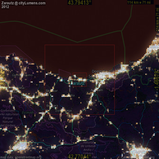
» Earth at Night: Flat Maps 2012, 2016