Vecindario night lights from space
Night Light of Vecindario (Canary Islands) from space (Spain) Src. Average luminocity for 10x10km area is 60.3939% and for 50x50km: 18.4391%.
Analysis of Vecindario night lights 2016
Square area 10x10 km:
 8.33%
8.33%90-99
12.69%80-89
14.58%70-79
11.36%60-69
6.06%50-59
5.3%40-49
10.04%30-39
9.66%20-29
13.83%10-19
7.95%0-9
0.19%Square area 50x50 km:
2.2%90-99
3.04%80-89
3.19%70-79
3.27%60-69
2.13%50-59
2.04%40-49
2.25%30-39
3.1%20-29
5.1%10-19
11.76%0-9
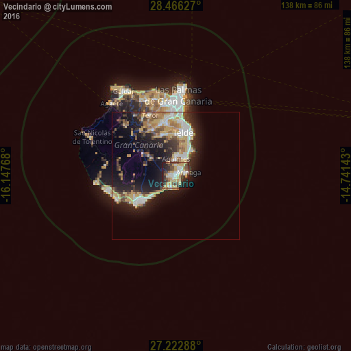
61.93%Clear (daylight) street map image can be seen on geolist.org.
Map coordinates:
28° 27' 58.6" North, 16° 8' 51.6" West
27° 50' 46.9" North, 15° 26' 40.4" West
27° 13' 22.4" North, 14° 44' 29.1" West
Some cities around Vecindario sort by population:
• Telde
16.4 km =10.2 mi,  8°
8°
• Santa Lucía
11.9 km =7.4 mi,  307°
307°
• San Bartolomé de Tirajana
15.4 km =9.6 mi,  304°
304°
• Ingenio
8.1 km =5 mi, 7°
• Agüimes
6.6 km =4.1 mi,  358°
358°
• Carrizal
8.2 km =5.1 mi,  27°
27°
• Playa del Ingles
16.5 km =10.3 mi,  232°
232°
• Valsequillo de Gran Canaria
16.3 km =10.1 mi,  341°
341°
6544416 (p: 14,910)
Sources (retrieved 2019-11-25):
» Earth at Night: Flat Maps 2012, 2016