San Javier night lights from space
Night Light of San Javier (Murcia) from space (Spain) Src. Average luminocity for 10x10km area is 55.369% and for 50x50km: 25.0902%.
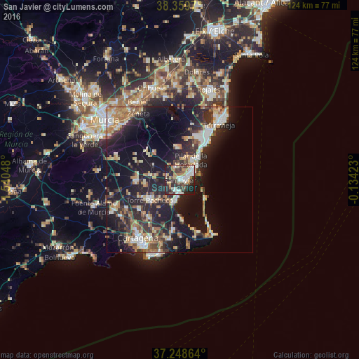
Analysis of San Javier night lights 2016
Square area 10x10 km:
 12.24%
90-99
12.41%80-89
4.08%70-79
7.31%60-69
6.97%50-59
5.61%40-49
8.33%30-39
12.59%20-29
22.79%10-19
7.65%0-9
0%Square area 50x50 km:
3.35%90-99
4.03%80-89
2.82%70-79
3.33%60-69
4.05%50-59
2.29%40-49
2.89%30-39
4.64%20-29
9.93%10-19
19.59%0-9
43.07%Clear (daylight) street map image can be seen on geolist.org.
Map coordinates:
38° 21' 34.9" North, 1° 32' 25.7" West
37° 48' 22.5" North, 0° 50' 14.5" West
37° 14' 55.1" North, 0° 8' 3.2" West
Some cities around San Javier sort by population:
• Torre-Pacheco
12.4 km =7.7 mi,  235°
235°
• San Pedro del Pinatar
5.2 km =3.2 mi,  51°
51°
• Pilar de la Horadada
7.7 km =4.8 mi,  30°
30°
• La Unión
21.1 km =13.1 mi,  189°
189°
• Los Alcázares
7 km =4.3 mi, 189°
• La Manga del Mar Menor
21.2 km =13.2 mi,  149°
149°
• Santiago de la Ribera
3 km =1.9 mi,  110°
110°
• San Miguel de Salinas
19.7 km =12.2 mi,  12°
12°
2511366 (p: 31,432)
Sources (retrieved 2019-11-25):
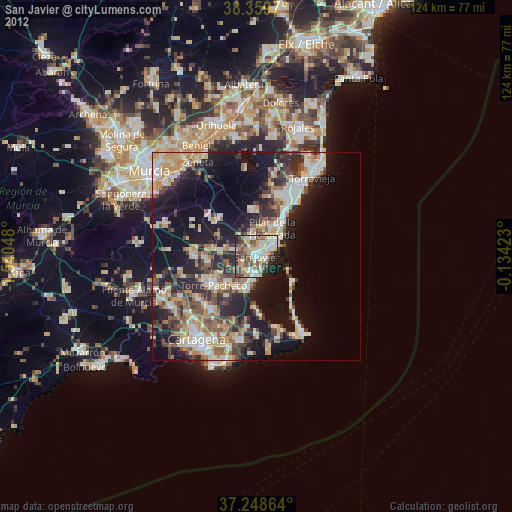
» Earth at Night: Flat Maps 2012, 2016