San Fernando night lights from space
Night Light of San Fernando (Andalusia) from space (Spain) Src. Average luminocity for 10x10km area is 51.3956% and for 50x50km: 15.3917%.
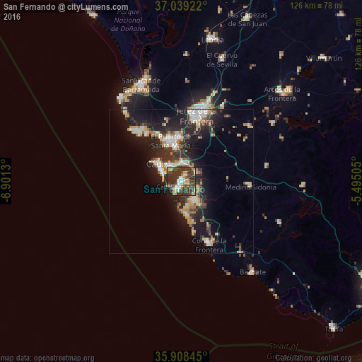
Analysis of San Fernando night lights 2016
Square area 10x10 km:
 7.51%
7.51%90-99
6.59%80-89
6.78%70-79
8.61%60-69
3.3%50-59
2.56%40-49
17.77%30-39
29.49%20-29
13%10-19
4.4%0-9
0%Square area 50x50 km:
2.22%90-99
2.25%80-89
1.81%70-79
2.11%60-69
2.16%50-59
0.84%40-49
2.06%30-39
3.86%20-29
5.24%10-19
11.72%0-9
65.71%Clear (daylight) street map image can be seen on geolist.org.
Map coordinates:
37° 2' 21.2" North, 6° 54' 4.7" West
36° 28' 33.2" North, 6° 11' 53.4" West
35° 54' 30.4" North, 5° 29' 42.2" West
Some cities around San Fernando sort by population:
• Jerez de la Frontera
24.1 km =15 mi,  13°
13°
• Cadiz
9.9 km =6.2 mi,  304°
304°
• El Puerto de Santa María
13.5 km =8.4 mi,  346°
346°
• Chiclana de la Frontera
7.9 km =4.9 mi,  142°
142°
• Puerto Real
5.9 km =3.7 mi, 7°
• Rota
22.2 km =13.8 mi,  318°
318°
• Conil de la Frontera
24.2 km =15 mi,  156°
156°
• Medina Sidonia
24.3 km =15.1 mi,  94°
94°
2511388 (p: 96,366)
Sources (retrieved 2019-11-25):
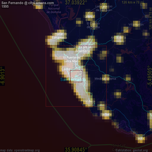
» NASA, Earths city lights 1995
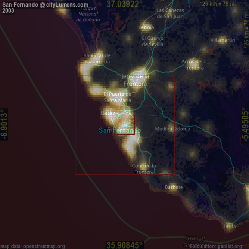
» NASA city lights 2003
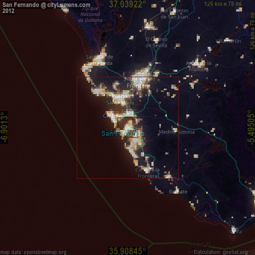
» Earth at Night: Flat Maps 2012, 2016