Redondela night lights from space
Night Light of Redondela (Galicia) from space (Spain) Src. Average luminocity for 10x10km area is 49.5136% and for 50x50km: 30.8591%.
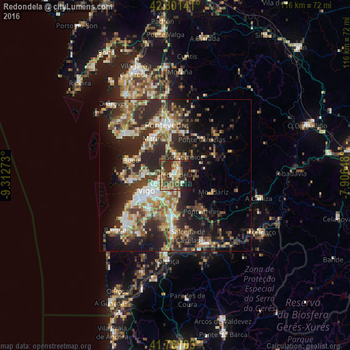
Analysis of Redondela night lights 2016
Square area 10x10 km:
 1.97%
1.97%90-99
9.09%80-89
7.42%70-79
9.39%60-69
8.33%50-59
10%40-49
9.7%30-39
10.15%20-29
20.76%10-19
13.18%0-9
0%Square area 50x50 km:
3.04%90-99
5.89%80-89
3.86%70-79
3.91%60-69
4.73%50-59
4.92%40-49
4.45%30-39
6.25%20-29
13.53%10-19
13.83%0-9
35.6%Clear (daylight) street map image can be seen on geolist.org.
Map coordinates:
42° 48' 5.1" North, 9° 18' 45.8" West
42° 17' 0.1" North, 8° 36' 34.6" West
41° 45' 39.7" North, 7° 54' 23.3" West
Some cities around Redondela sort by population:
• Vigo
10.9 km =6.8 mi,  238°
238°
• Marín
14.2 km =8.8 mi,  327°
327°
• Cangas do Morrazo
14.6 km =9.1 mi,  261°
261°
• Ponteareas
14.9 km =9.3 mi,  144°
144°
• Moaña
10.7 km =6.6 mi,  266°
266°
• Porriño
13.6 km =8.5 mi,  183°
183°
• Bueu
15.1 km =9.4 mi,  287°
287°
• Mondariz
13.7 km =8.5 mi,  115°
115°
3112154 (p: 30,001)
Sources (retrieved 2019-11-25):
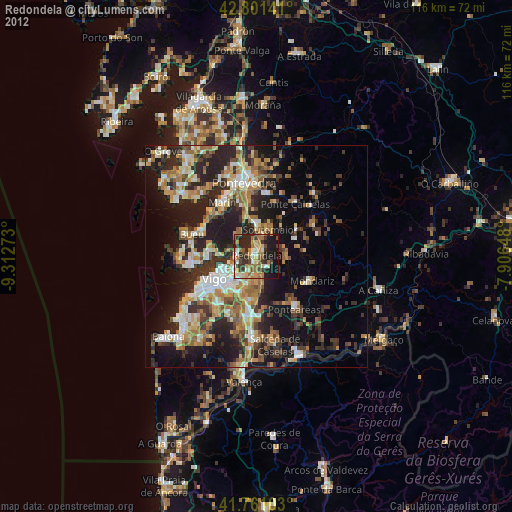
» Earth at Night: Flat Maps 2012, 2016