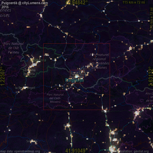
Puigcerdà night lights from space
Night Light of Puigcerdà (Catalonia) from space (Spain) Src. Average luminocity for 10x10km area is 18.6492% and for 50x50km: 2.9297%.
Analysis of Puigcerdà night lights 2016
Square area 10x10 km:
 1.75%
1.75%90-99
3.02%80-89
1.75%70-79
1.75%60-69
3.02%50-59
2.7%40-49
2.22%30-39
2.22%20-29
3.17%10-19
11.75%0-9
66.67%Square area 50x50 km:
0.08%90-99
0.41%80-89
0.28%70-79
0.38%60-69
0.49%50-59
0.51%40-49
0.61%30-39
0.47%20-29
0.6%10-19
0.68%0-9
95.49%Clear (daylight) street map image can be seen on geolist.org.
Map coordinates:
42° 56' 54.3" North, 1° 13' 30.3" East
42° 25' 53.8" North, 1° 55' 41.5" East
41° 54' 37.8" North, 2° 37' 52.8" East
Some cities around Puigcerdà sort by population:
• Andorra la Vella, AD
34.4 km =21.4 mi,  284°
284°
• les Escaldes, AD
33.4 km =20.8 mi, 284°
• Encamp, AD
30.8 km =19.1 mi,  291°
291°
• Ripoll
33.5 km =20.8 mi,  139°
139°
• Sant Julià de Lòria, AD
36 km =22.4 mi, 275°
• la Massana, AD
36.2 km =22.5 mi, 290°
• Canillo, AD
31 km =19.3 mi,  299°
299°
• Ordino, AD
35.2 km =21.9 mi, 293°
3112680 (p: 8,845)
Sources (retrieved 2019-11-25):
» Earth at Night: Flat Maps 2012, 2016