Motril night lights from space
Night Light of Motril (Andalusia) from space (Spain) Src. Average luminocity for 10x10km area is 32.715% and for 50x50km: 4.511%.
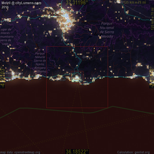
Analysis of Motril night lights 2016
Square area 10x10 km:
 4.02%
4.02%90-99
5.94%80-89
5.59%70-79
3.15%60-69
5.94%50-59
1.4%40-49
3.5%30-39
7.17%20-29
5.07%10-19
35.84%0-9
22.38%Square area 50x50 km:
0.26%90-99
0.47%80-89
0.48%70-79
0.59%60-69
0.81%50-59
0.53%40-49
0.88%30-39
0.94%20-29
0.79%10-19
3.18%0-9
91.05%Clear (daylight) street map image can be seen on geolist.org.
Map coordinates:
37° 18' 43.1" North, 4° 13' 15.7" West
36° 45' 2.4" North, 3° 31' 4.4" West
36° 11' 6.8" North, 2° 48' 53.2" West
Some cities around Motril sort by population:
• Almuñécar
15.5 km =9.6 mi,  263°
263°
• Nerja
31.8 km =19.8 mi,  270°
270°
• Torrox
38.7 km =24 mi, 271°
• Salobreña
6.2 km =3.9 mi, 261°
• Padul
32 km =19.9 mi,  342°
342°
• Dúrcal
26.7 km =16.6 mi,  350°
350°
• Albuñol
28.2 km =17.5 mi,  80°
80°
• Órgiva
18.9 km =11.7 mi,  26°
26°
2513477 (p: 60,279)
Sources (retrieved 2019-11-25):
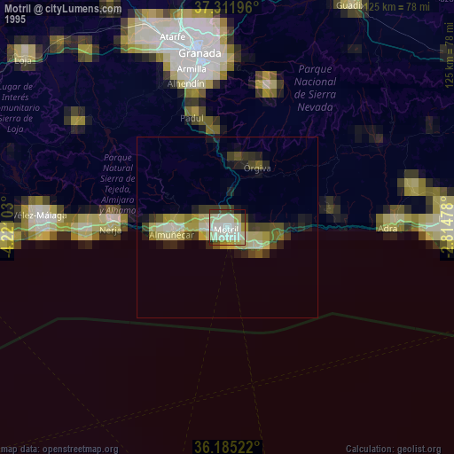
» NASA, Earths city lights 1995
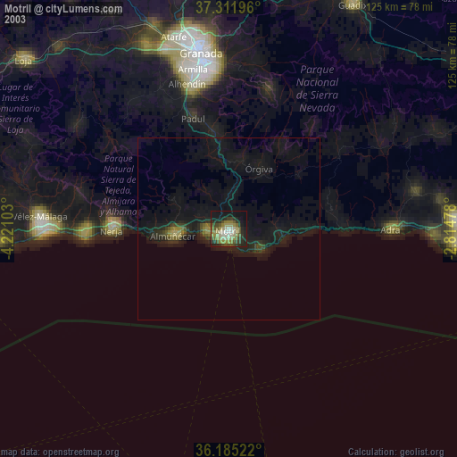
» NASA city lights 2003
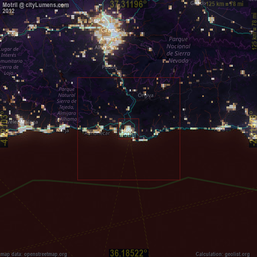
» Earth at Night: Flat Maps 2012, 2016