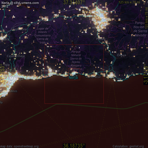
Nerja night lights from space
Night Light of Nerja (Andalusia) from space (Spain) Src. Average luminocity for 10x10km area is 19.5157% and for 50x50km: 5.431%.
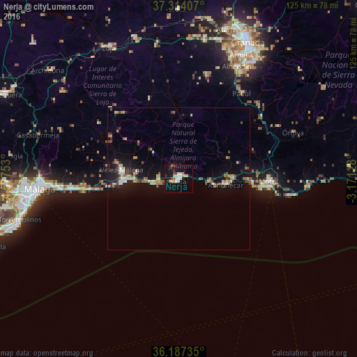
Analysis of Nerja night lights 2016
Square area 10x10 km:
 2.27%
2.27%90-99
2.97%80-89
2.45%70-79
3.15%60-69
2.8%50-59
0.52%40-49
1.92%30-39
2.97%20-29
0.87%10-19
23.08%0-9
56.99%Square area 50x50 km:
0.49%90-99
0.74%80-89
0.6%70-79
0.62%60-69
0.93%50-59
0.41%40-49
0.75%30-39
0.84%20-29
0.77%10-19
5.34%0-9
88.51%Clear (daylight) street map image can be seen on geolist.org.
Map coordinates:
37° 18' 50.7" North, 4° 34' 39.1" West
36° 45' 10" North, 3° 52' 27.8" West
36° 11' 14.5" North, 3° 10' 16.6" West
Some cities around Nerja sort by population:
• Vélez-Málaga
20.6 km =12.8 mi,  278°
278°
• Motril
31.8 km =19.8 mi,  90°
90°
• Almuñécar
16.5 km =10.3 mi,  97°
97°
• Torre del Mar
19.5 km =12.1 mi,  266°
266°
• Torrox
7 km =4.3 mi, 274°
• Salobreña
25.6 km =15.9 mi, 92°
• Alhama de Granada
30.1 km =18.7 mi,  340°
340°
• Algarrobo
14.9 km =9.3 mi, 279°
2513240 (p: 21,811)
Sources (retrieved 2019-11-25):
» Earth at Night: Flat Maps 2012, 2016