Los Realejos night lights from space
Night Light of Los Realejos (Canary Islands) from space (Spain) Src. Average luminocity for 10x10km area is 41.4702% and for 50x50km: 14.0069%.
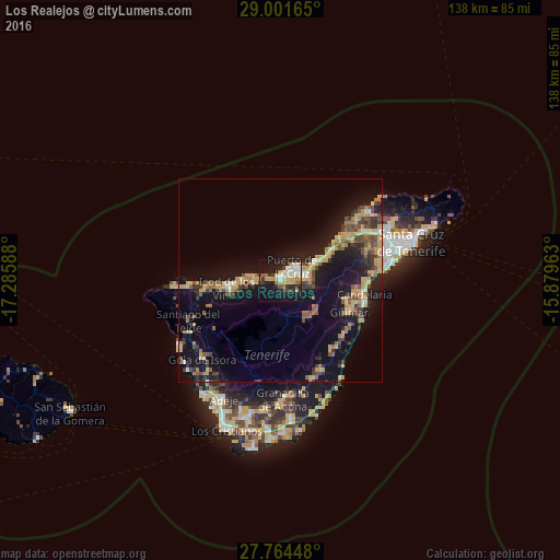
Analysis of Los Realejos night lights 2016
Square area 10x10 km:
 5.75%
5.75%90-99
8.53%80-89
8.53%70-79
8.13%60-69
1.59%50-59
2.98%40-49
1.79%30-39
6.94%20-29
10.12%10-19
39.68%0-9
5.95%Square area 50x50 km:
0.54%90-99
0.98%80-89
2.73%70-79
3.01%60-69
1.65%50-59
1.94%40-49
2.31%30-39
2.31%20-29
3.04%10-19
14.69%0-9
66.79%Clear (daylight) street map image can be seen on geolist.org.
Map coordinates:
29° 0' 5.9" North, 17° 17' 9.2" West
28° 23' 5.5" North, 16° 34' 57.9" West
27° 45' 52.1" North, 15° 52' 46.7" West
Some cities around Los Realejos sort by population:
• La Orotava
5.9 km =3.7 mi,  83°
83°
• Realejo Alto
1 km =0.6 mi,  197°
197°
• Puerto de la Cruz
4.6 km =2.9 mi,  45°
45°
• Icod de los Vinos
12.7 km =7.9 mi,  263°
263°
• Santa Úrsula
10.3 km =6.4 mi,  63°
63°
• La Victoria de Acentejo
12.9 km =8 mi,  65°
65°
• La Guancha
6.9 km =4.3 mi, 259°
• San Juan de la Rambla
6.7 km =4.2 mi,  277°
277°
6692471 (p: 37,559)
Sources (retrieved 2019-11-25):
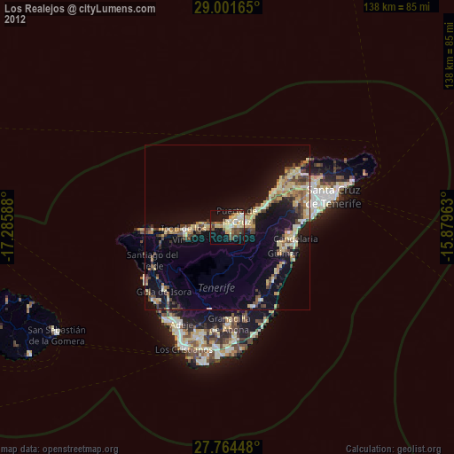
» Earth at Night: Flat Maps 2012, 2016