Los Palacios y Villafranca night lights from space
Night Light of Los Palacios y Villafranca (Andalusia) from space (Spain) Src. Average luminocity for 10x10km area is 14.852% and for 50x50km: 16.0954%.
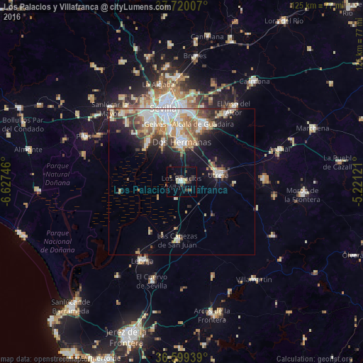
Analysis of Los Palacios y Villafranca night lights 2016
Square area 10x10 km:
 0.85%
0.85%90-99
2.04%80-89
2.72%70-79
0.85%60-69
0.68%50-59
1.36%40-49
3.4%30-39
3.91%20-29
2.21%10-19
5.1%0-9
76.87%Square area 50x50 km:
3.1%90-99
2.91%80-89
2.22%70-79
2.27%60-69
2.09%50-59
1.81%40-49
1.99%30-39
2.39%20-29
2.56%10-19
6.58%0-9
72.08%Clear (daylight) street map image can be seen on geolist.org.
Map coordinates:
37° 43' 12.3" North, 6° 37' 38.9" West
37° 9' 42.5" North, 5° 55' 27.6" West
36° 35' 57.8" North, 5° 13' 16.4" West
Some cities around Los Palacios y Villafranca sort by population:
• Dos Hermanas
13.5 km =8.4 mi,  1°
1°
• Alcalá de Guadaira
21 km =13 mi,  20°
20°
• Utrera
13 km =8.1 mi,  78°
78°
• Mairena del Aljarafe
23.8 km =14.8 mi,  328°
328°
• Coria del Río
18.1 km =11.2 mi,  320°
320°
• Las Cabezas de San Juan
19.8 km =12.3 mi,  183°
183°
• La Puebla del Río
17 km =10.6 mi,  313°
313°
• Gelves
21.2 km =13.2 mi, 334°
2514553 (p: 36,824)
Sources (retrieved 2019-11-25):
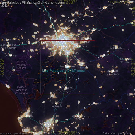
» Earth at Night: Flat Maps 2012, 2016