Alcalá de Guadaira night lights from space
Night Light of Alcalá de Guadaira (Andalusia) from space (Spain) Src. Average luminocity for 10x10km area is 54.7289% and for 50x50km: 25.3043%.
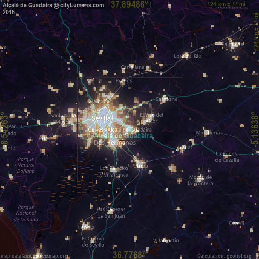
Analysis of Alcalá de Guadaira night lights 2016
Square area 10x10 km:
 10.39%
90-99
8.77%80-89
5.03%70-79
3.41%60-69
14.77%50-59
13.15%40-49
8.6%30-39
10.71%20-29
12.01%10-19
10.88%0-9
2.27%Square area 50x50 km:
4.81%90-99
4.29%80-89
3.1%70-79
3.25%60-69
4.07%50-59
2.84%40-49
3.34%30-39
3.94%20-29
4.99%10-19
11.46%0-9
53.91%Clear (daylight) street map image can be seen on geolist.org.
Map coordinates:
37° 53' 41.5" North, 6° 32' 33.5" West
37° 20' 16.5" North, 5° 50' 22.2" West
36° 46' 36.5" North, 5° 8' 11" West
Some cities around Alcalá de Guadaira sort by population:
• Sevilla
12.8 km =8 mi,  292°
292°
• Dos Hermanas
9.4 km =5.8 mi,  229°
229°
• Utrera
17.8 km =11.1 mi,  163°
163°
• Camas
18.5 km =11.5 mi, 292°
• San Juan de Aznalfarache
17.6 km =10.9 mi,  277°
277°
• Mairena del Alcor
8.9 km =5.5 mi,  63°
63°
• El Viso del Alcor
12.1 km =7.5 mi, 60°
• Gelves
16.5 km =10.3 mi,  268°
268°
2522165 (p: 70,155)
Sources (retrieved 2019-11-25):
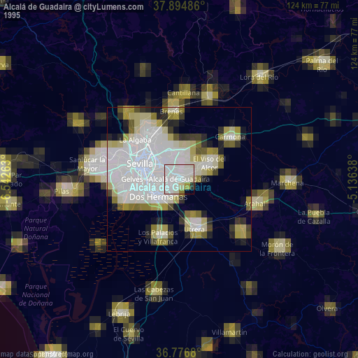
» NASA, Earths city lights 1995
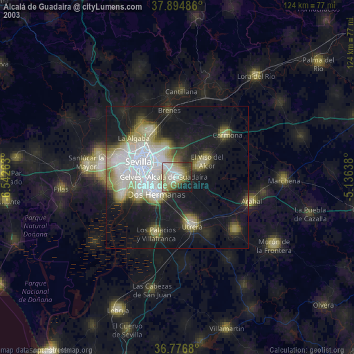
» NASA city lights 2003
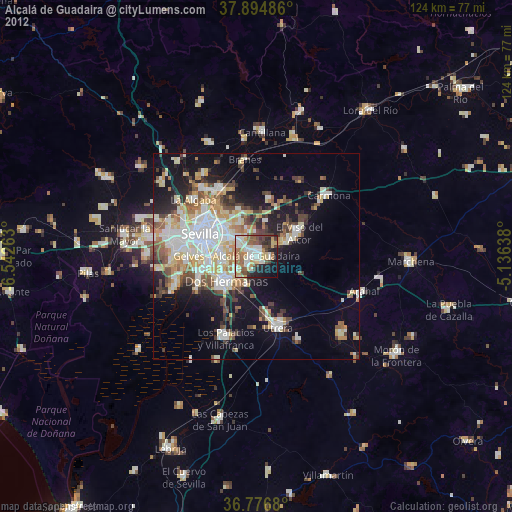
» Earth at Night: Flat Maps 2012, 2016