Lebrija night lights from space
Night Light of Lebrija (Andalusia) from space (Spain) Src. Average luminocity for 10x10km area is 17.5974% and for 50x50km: 5.9942%.
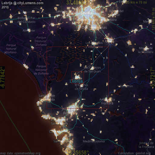
Analysis of Lebrija night lights 2016
Square area 10x10 km:
 2.44%
2.44%90-99
2.11%80-89
2.76%70-79
2.11%60-69
1.62%50-59
0.49%40-49
2.76%30-39
3.73%20-29
0.16%10-19
13.31%0-9
68.51%Square area 50x50 km:
0.74%90-99
0.79%80-89
0.89%70-79
0.77%60-69
0.88%50-59
0.48%40-49
0.61%30-39
0.82%20-29
1.05%10-19
3.83%0-9
89.14%Clear (daylight) street map image can be seen on geolist.org.
Map coordinates:
37° 28' 51" North, 6° 46' 42.3" West
36° 55' 14.8" North, 6° 4' 31" West
36° 21' 23.7" North, 5° 22' 19.8" West
Some cities around Lebrija sort by population:
• Jerez de la Frontera
26.6 km =16.5 mi,  191°
191°
• Sanlúcar de Barrameda
29.3 km =18.2 mi,  237°
237°
• Los Palacios y Villafranca
30 km =18.6 mi,  26°
26°
• Arcos de la Frontera
30.2 km =18.8 mi,  128°
128°
• Las Cabezas de San Juan
14 km =8.7 mi,  59°
59°
• Bornos
31.6 km =19.6 mi,  111°
111°
• El Cuervo
8.2 km =5.1 mi,  156°
156°
• Trebujena
10.5 km =6.5 mi, 238°
2515096 (p: 26,434)
Sources (retrieved 2019-11-25):
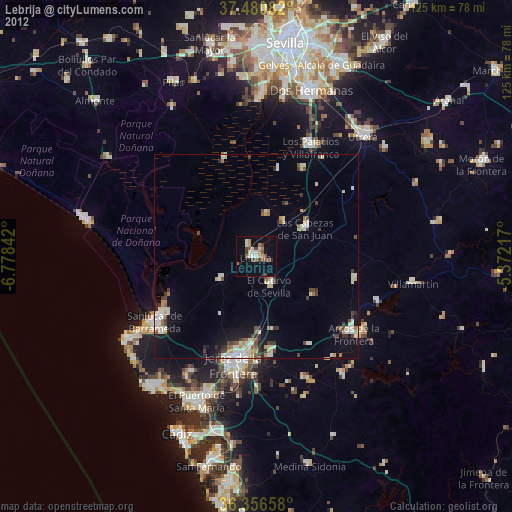
» Earth at Night: Flat Maps 2012, 2016