Isla Cristina night lights from space
Night Light of Isla Cristina (Andalusia) from space (Spain) Src. Average luminocity for 10x10km area is 17.4405% and for 50x50km: 6.9621%.
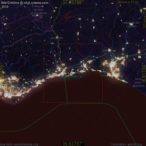
Analysis of Isla Cristina night lights 2016
Square area 10x10 km:
 0.85%
0.85%90-99
0.51%80-89
2.55%70-79
1.87%60-69
5.95%50-59
1.53%40-49
1.7%30-39
1.36%20-29
1.36%10-19
21.77%0-9
60.54%Square area 50x50 km:
0.59%90-99
0.6%80-89
1.45%70-79
0.81%60-69
1.06%50-59
0.55%40-49
0.45%30-39
0.87%20-29
1.76%10-19
7.79%0-9
84.07%Clear (daylight) street map image can be seen on geolist.org.
Map coordinates:
37° 45' 28.7" North, 8° 1' 11.2" West
37° 12' 0" North, 7° 19' 0" West
36° 38' 16.3" North, 6° 36' 48.7" West
Some cities around Isla Cristina sort by population:
• Lepe
11.7 km =7.3 mi,  58°
58°
• Ayamonte
8.2 km =5.1 mi,  280°
280°
• Aljaraque
27.1 km =16.8 mi,  73°
73°
• Cartaya
17.2 km =10.7 mi, 58°
• Tavira, PT
30.5 km =19 mi,  254°
254°
• Punta Umbría
31.1 km =19.3 mi,  93°
93°
• Vila Real de Santo António, PT
9 km =5.6 mi,  266°
266°
• Castro Marim, PT
11.5 km =7.1 mi, 281°
2516431 (p: 21,324)
Sources (retrieved 2019-11-25):
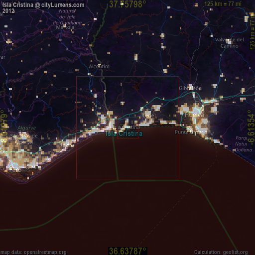
» Earth at Night: Flat Maps 2012, 2016