El Ejido night lights from space
Night Light of El Ejido (Andalusia) from space (Spain) Src. Average luminocity for 10x10km area is 36.979% and for 50x50km: 8.4003%.
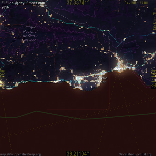

Analysis of El Ejido night lights 2016
Square area 10x10 km:
 5.07%
5.07%90-99
9.09%80-89
4.02%70-79
1.4%60-69
7.52%50-59
2.97%40-49
1.4%30-39
1.75%20-29
23.6%10-19
37.94%0-9
5.24%Square area 50x50 km:
0.88%90-99
1.66%80-89
0.93%70-79
0.71%60-69
1.34%50-59
0.64%40-49
0.77%30-39
1.07%20-29
2.81%10-19
7.68%0-9
81.5%Clear (daylight) street map image can be seen on geolist.org.
Map coordinates:
37° 20' 14.7" North, 3° 31' 3.7" West
36° 46' 34.6" North, 2° 48' 52.4" West
36° 12' 39.7" North, 2° 6' 41.2" West
Some cities around El Ejido sort by population:
• Almería
32.3 km =20.1 mi,  77°
77°
• Roquetas de Mar
17.8 km =11.1 mi,  94°
94°
• Adra
18.6 km =11.6 mi,  260°
260°
• Vícar
16.5 km =10.3 mi,  68°
68°
• Berja
14.4 km =8.9 mi,  303°
303°
• Aguadulce
22 km =13.7 mi, 78°
• La Gangosa Vistasol
17.5 km =10.9 mi, 79°
• Albuñol
34.8 km =21.6 mi,  272°
272°
2518494 (p: 84,227)
Sources (retrieved 2019-11-25):
» NASA, Earths city lights 1995
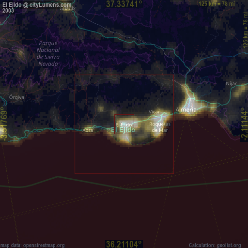
» NASA city lights 2003
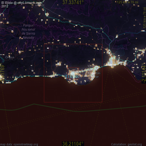
» Earth at Night: Flat Maps 2012, 2016