Eibar night lights from space
Night Light of Eibar (Basque Country) from space (Spain) Src. Average luminocity for 10x10km area is 22.4788% and for 50x50km: 10.8295%.
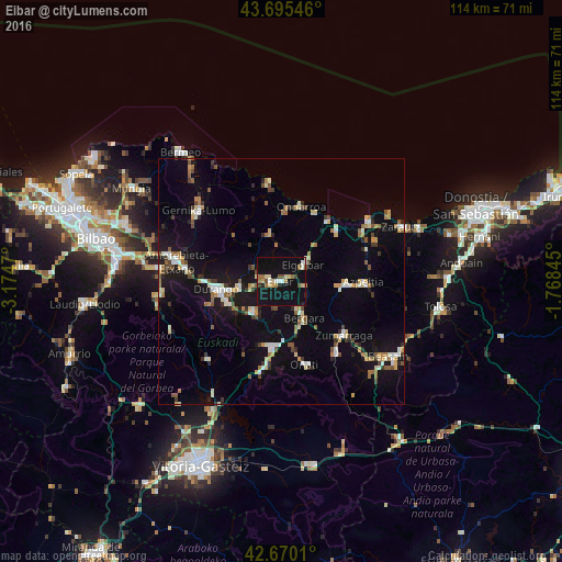
Analysis of Eibar night lights 2016
Square area 10x10 km:
 1.82%
1.82%90-99
3.33%80-89
3.64%70-79
1.52%60-69
3.94%50-59
2.88%40-49
1.36%30-39
1.21%20-29
1.82%10-19
41.36%0-9
37.12%Square area 50x50 km:
0.98%90-99
1.63%80-89
1.13%70-79
1.16%60-69
1.4%50-59
1.43%40-49
1.04%30-39
1.15%20-29
1.61%10-19
9.61%0-9
78.85%Clear (daylight) street map image can be seen on geolist.org.
Map coordinates:
43° 41' 43.7" North, 3° 10' 28.9" West
43° 11' 5.7" North, 2° 28' 17.7" West
42° 40' 12.4" North, 1° 46' 6.4" West
Some cities around Eibar sort by population:
• Durango
13.2 km =8.2 mi,  263°
263°
• Arrasate / Mondragón
13.5 km =8.4 mi,  186°
186°
• Ermua
2.5 km =1.6 mi,  275°
275°
• Bergara
8.9 km =5.5 mi,  150°
150°
• Azkoitia
13 km =8.1 mi,  93°
93°
• Elgoibar
5.9 km =3.7 mi,  53°
53°
• Ondarroa
15.3 km =9.5 mi,  16°
16°
• Elorrio
8.3 km =5.2 mi,  222°
222°
3123709 (p: 27,419)
Sources (retrieved 2019-11-25):
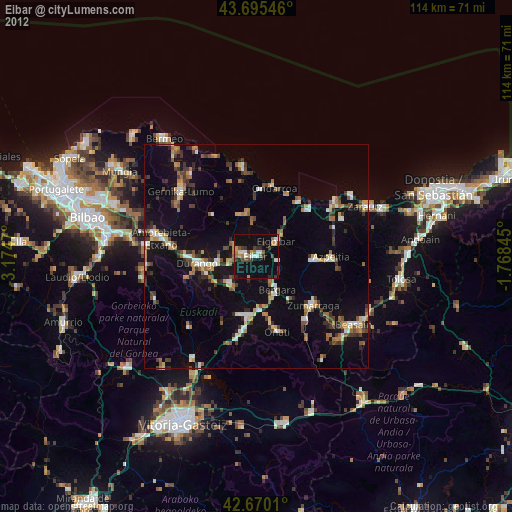
» Earth at Night: Flat Maps 2012, 2016