Costa Teguise night lights from space
Night Light of Costa Teguise (Canary Islands) from space (Spain) Src. Average luminocity for 10x10km area is 31.8234% and for 50x50km: 6.9027%.
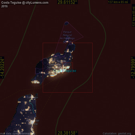
Analysis of Costa Teguise night lights 2016
Square area 10x10 km:
 4.17%
4.17%90-99
5.95%80-89
10.91%70-79
2.38%60-69
0.4%50-59
1.39%40-49
3.97%30-39
4.17%20-29
4.76%10-19
28.97%0-9
32.94%Square area 50x50 km:
0.52%90-99
0.61%80-89
1.33%70-79
0.91%60-69
0.73%50-59
0.77%40-49
1.48%30-39
1.58%20-29
1.94%10-19
5.88%0-9
84.25%Clear (daylight) street map image can be seen on geolist.org.
Map coordinates:
29° 36' 41.5" North, 14° 12' 8.1" West
28° 59' 54.2" North, 13° 29' 56.8" West
28° 22' 53.7" North, 12° 47' 45.6" West
Some cities around Costa Teguise sort by population:
• Arrecife
6.1 km =3.8 mi,  230°
230°
• Puerto del Carmen
18.2 km =11.3 mi,  242°
242°
• Tías
14.8 km =9.2 mi,  253°
253°
• Teguise
9.4 km =5.8 mi,  317°
317°
• San Bartolomé
11.1 km =6.9 mi,  271°
271°
• Nazaret
7.7 km =4.8 mi,  305°
305°
• Yaiza
26.3 km =16.3 mi,  259°
259°
• Tinajo
18.7 km =11.6 mi,  292°
292°
6355127 (p: 7,629)
Sources (retrieved 2019-11-25):
» Earth at Night: Flat Maps 2012, 2016