Arrecife night lights from space
Night Light of Arrecife (Canary Islands) from space (Spain) Src. Average luminocity for 10x10km area is 45.7202% and for 50x50km: 7.0844%.
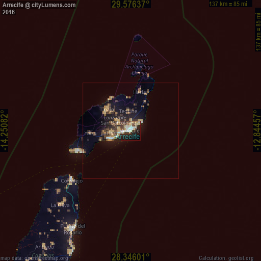
Analysis of Arrecife night lights 2016
Square area 10x10 km:
 8.33%
8.33%90-99
9.33%80-89
12.7%70-79
2.18%60-69
0.6%50-59
3.57%40-49
9.72%30-39
7.34%20-29
12.3%10-19
25%0-9
8.93%Square area 50x50 km:
0.52%90-99
0.64%80-89
1.33%70-79
0.97%60-69
0.7%50-59
0.81%40-49
1.49%30-39
1.64%20-29
2.03%10-19
5.89%0-9
83.98%Clear (daylight) street map image can be seen on geolist.org.
Map coordinates:
29° 34' 34.9" North, 14° 15' 3" West
28° 57' 46.9" North, 13° 32' 51.7" West
28° 20' 45.6" North, 12° 50' 40.5" West
Some cities around Arrecife sort by population:
• Puerto del Carmen
12.3 km =7.6 mi,  248°
248°
• Tías
9.5 km =5.9 mi,  268°
268°
• Teguise
11 km =6.8 mi,  351°
351°
• San Bartolomé
7.6 km =4.7 mi,  303°
303°
• Nazaret
8.5 km =5.3 mi, 349°
• Yaiza
21.2 km =13.2 mi, 268°
• Costa Teguise
6.1 km =3.8 mi,  50°
50°
• Tinajo
16.8 km =10.4 mi,  311°
311°
2521570 (p: 59,127)
Sources (retrieved 2019-11-25):
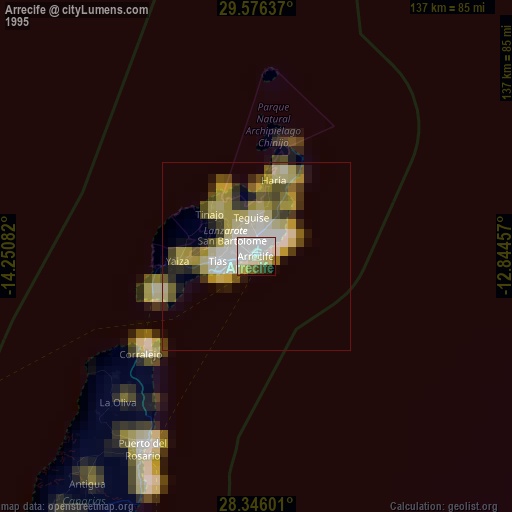
» NASA, Earths city lights 1995
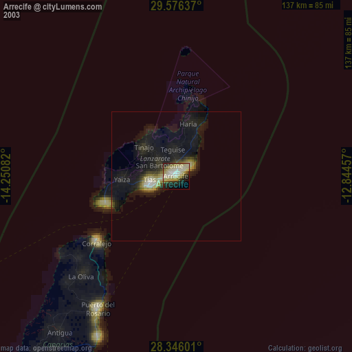
» NASA city lights 2003
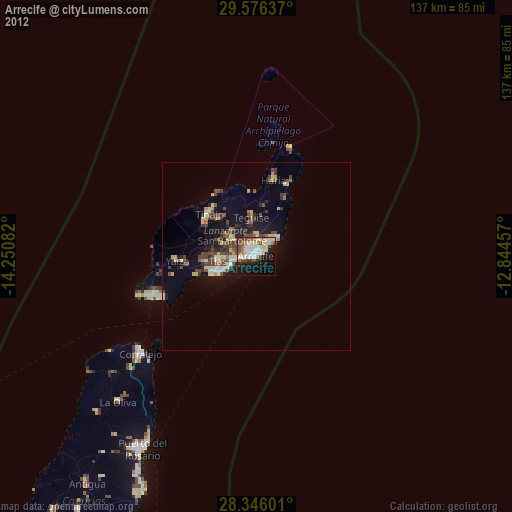
» Earth at Night: Flat Maps 2012, 2016