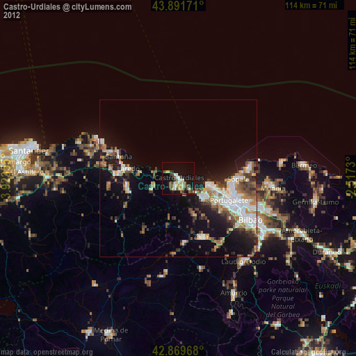
Castro-Urdiales night lights from space
Night Light of Castro-Urdiales (Cantabria) from space (Spain) Src. Average luminocity for 10x10km area is 26.4825% and for 50x50km: 13.8629%.
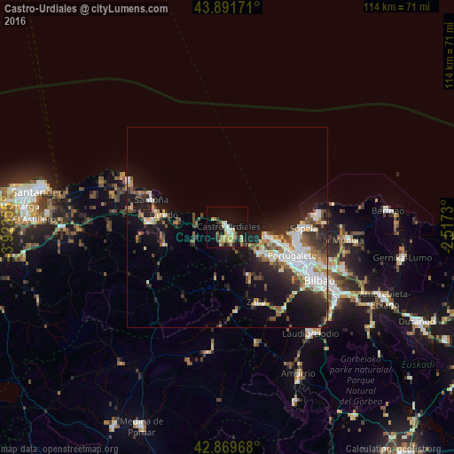
Analysis of Castro-Urdiales night lights 2016
Square area 10x10 km:
 2.38%
2.38%90-99
2.86%80-89
6.98%70-79
4.29%60-69
2.7%50-59
1.9%40-49
3.33%30-39
3.02%20-29
3.02%10-19
28.41%0-9
41.11%Square area 50x50 km:
2.43%90-99
2.64%80-89
1.24%70-79
1.36%60-69
1.58%50-59
2.05%40-49
1.7%30-39
2.1%20-29
3.69%10-19
10.06%0-9
71.15%Clear (daylight) street map image can be seen on geolist.org.
Map coordinates:
43° 53' 30.2" North, 3° 55' 24.8" West
43° 22' 58.3" North, 3° 13' 13.5" West
42° 52' 10.8" North, 2° 31' 2.3" West
Some cities around Castro-Urdiales sort by population:
• Algorta
17.5 km =10.9 mi,  102°
102°
• Getxo
17.1 km =10.6 mi, 99°
• Portugalete
17.6 km =10.9 mi,  113°
113°
• Santurtzi
16.4 km =10.2 mi, 111°
• Laredo
16.1 km =10 mi,  280°
280°
• Zierbena
11.7 km =7.3 mi, 108°
• Ortuella
15.5 km =9.6 mi,  120°
120°
• Zalla
18.1 km =11.2 mi,  157°
157°
3125621 (p: 31,670)
Sources (retrieved 2019-11-25):
» Earth at Night: Flat Maps 2012, 2016