Cabeza del Buey night lights from space
Night Light of Cabeza del Buey (Extremadura) from space (Spain) Src. Average luminocity for 10x10km area is 3.2687% and for 50x50km: 0.6264%.
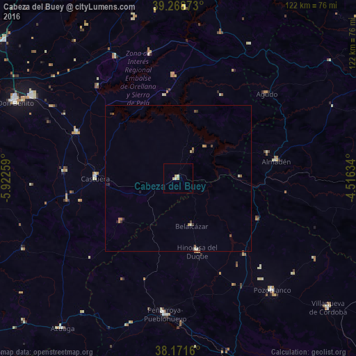
Analysis of Cabeza del Buey night lights 2016
Square area 10x10 km:
 0.34%
0.34%90-99
0.34%80-89
1.36%70-79
0.68%60-69
0.68%50-59
0%40-49
0%30-39
0%20-29
0%10-19
0%0-9
96.6%Square area 50x50 km:
0.01%90-99
0.08%80-89
0.12%70-79
0.14%60-69
0.1%50-59
0.12%40-49
0.09%30-39
0.09%20-29
0.16%10-19
0.05%0-9
99.02%Clear (daylight) street map image can be seen on geolist.org.
Map coordinates:
39° 16' 7.4" North, 5° 55' 21.3" West
38° 43' 20.2" North, 5° 13' 10.1" West
38° 10' 17.8" North, 4° 30' 58.8" West
Some cities around Cabeza del Buey sort by population:
• Villanueva de la Serena
57.5 km =35.7 mi,  299°
299°
• Pozoblanco
50 km =31.1 mi,  139°
139°
• Peñarroya-Pueblonuevo
47.1 km =29.3 mi,  184°
184°
• Hinojosa del Duque
25.5 km =15.8 mi,  165°
165°
• Castuera
28.2 km =17.5 mi,  272°
272°
• Campanario
37.9 km =23.5 mi,  294°
294°
• Fuente Obejuna
53.5 km =33.2 mi,  198°
198°
• Quintana de la Serena
39.4 km =24.5 mi, 273°
2520672 (p: 5,590)
Sources (retrieved 2019-11-25):
» Earth at Night: Flat Maps 2012, 2016