Ávila night lights from space
Night Light of Ávila (Castille and León) from space (Spain) Src. Average luminocity for 10x10km area is 22.612% and for 50x50km: 2.1182%.
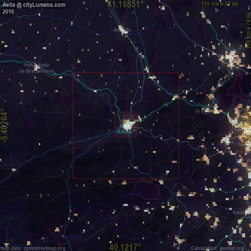
Analysis of Ávila night lights 2016
Square area 10x10 km:
 4.55%
4.55%90-99
6.17%80-89
2.27%70-79
1.14%60-69
1.62%50-59
2.27%40-49
1.3%30-39
1.14%20-29
1.3%10-19
28.25%0-9
50%Square area 50x50 km:
0.18%90-99
0.44%80-89
0.22%70-79
0.2%60-69
0.22%50-59
0.35%40-49
0.3%30-39
0.2%20-29
0.4%10-19
1.27%0-9
96.2%Clear (daylight) street map image can be seen on geolist.org.
Map coordinates:
41° 11' 18.6" North, 5° 24' 9.5" West
40° 39' 26.1" North, 4° 41' 58.2" West
40° 7' 18.1" North, 3° 59' 47" West
Some cities around Ávila sort by population:
• San Lorenzo de El Escorial
47.2 km =29.3 mi,  98°
98°
• El Escorial
48.9 km =30.4 mi, 99°
• Guadarrama
51.5 km =32 mi,  88°
88°
• Arévalo
45.1 km =28 mi,  357°
357°
• San Martín de Valdeiglesias
41.6 km =25.8 mi,  142°
142°
• Peñaranda de Bracamonte
50.1 km =31.1 mi,  302°
302°
• Villa del Prado
53.7 km =33.4 mi, 141°
• Las Navas del Marqués
31.4 km =19.5 mi, 101°
3129136 (p: 56,855)
Sources (retrieved 2019-11-25):
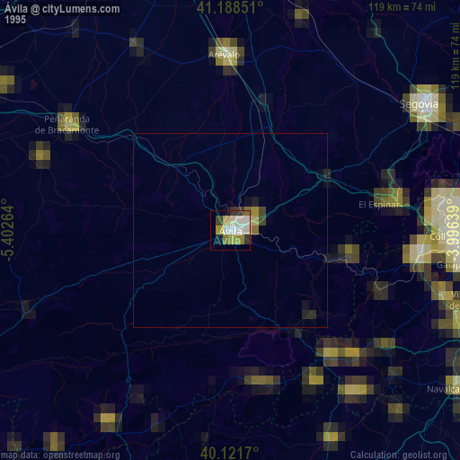
» NASA, Earths city lights 1995
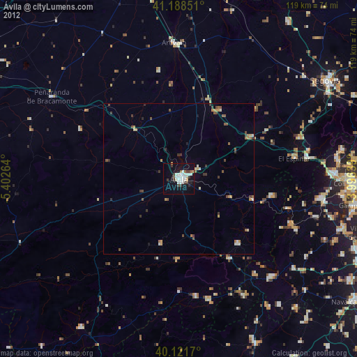
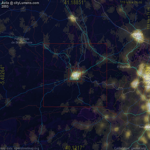
» NASA city lights 2003
» Earth at Night: Flat Maps 2012, 2016