Arish night lights from space
Night Light of Arish (North Sinai) from space (Egypt) Src. Average luminocity for 10x10km area is 51.3095% and for 50x50km: 3.7717%.
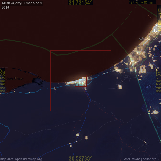
Analysis of Arish night lights 2016
Square area 10x10 km:
 11.54%
90-99
11.17%80-89
10.07%70-79
6.04%60-69
2.38%50-59
3.48%40-49
4.58%30-39
8.06%20-29
18.13%10-19
23.26%0-9
1.28%Square area 50x50 km:
0.61%90-99
0.63%80-89
0.63%70-79
0.28%60-69
0.27%50-59
0.21%40-49
0.41%30-39
0.6%20-29
1.2%10-19
3.75%0-9
91.41%Clear (daylight) street map image can be seen on geolist.org.
Map coordinates:
31° 43' 53.5" North, 33° 5' 43.2" East
31° 7' 53.7" North, 33° 47' 54.4" East
30° 31' 40.2" North, 34° 30' 5.7" East
Some cities around Arish sort by population:
• Khān Yūnis, PS
53.6 km =33.3 mi,  64°
64°
• Rafaḩ, PS
46.2 km =28.7 mi,  66°
66°
• Banī Suhaylā, PS
55.2 km =34.3 mi, 64°
• ‘Abasān al Kabīrah, PS
55.6 km =34.5 mi, 67°
• Shūkat aş Şūfī, PS
48.2 km =30 mi, 72°
• Khuzā‘ah, PS
56.9 km =35.4 mi, 69°
• An Naşr, PS
50.7 km =31.5 mi, 70°
• Al Fukhkhārī, PS
53.7 km =33.4 mi, 70°
361546 (p: 128,855)
Sources (retrieved 2019-11-25):
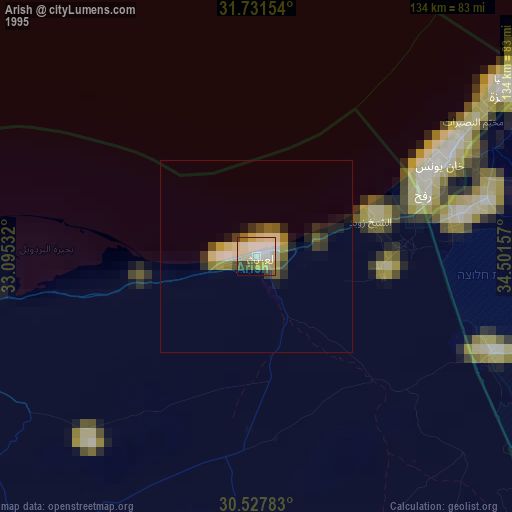
» NASA, Earths city lights 1995
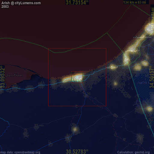
» NASA city lights 2003
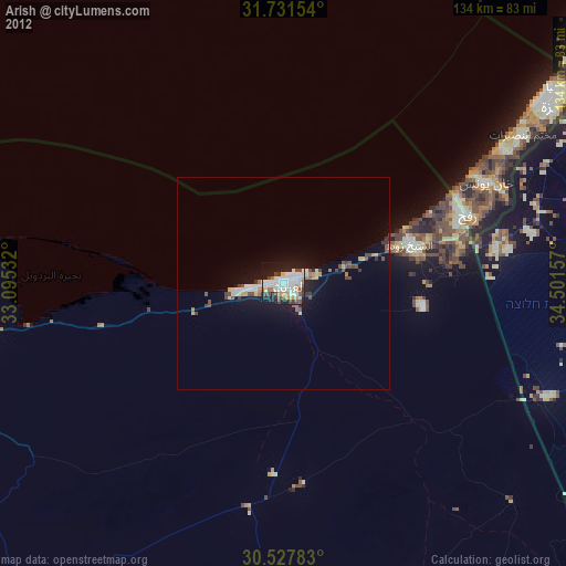
» Earth at Night: Flat Maps 2012, 2016