Azazga night lights from space
Night Light of Azazga (Tizi Ouzou) from space (Algeria) Src. Average luminocity for 10x10km area is 14.5612% and for 50x50km: 9.8333%.
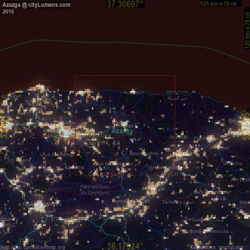
Analysis of Azazga night lights 2016
Square area 10x10 km:
 0%
0%90-99
2.8%80-89
0%70-79
2.1%60-69
2.27%50-59
2.97%40-49
1.75%30-39
4.2%20-29
0.52%10-19
5.77%0-9
77.62%Square area 50x50 km:
0.17%90-99
1.08%80-89
0.72%70-79
1.27%60-69
1.31%50-59
1.62%40-49
1.93%30-39
3.23%20-29
2.45%10-19
7.78%0-9
78.43%Clear (daylight) street map image can be seen on geolist.org.
Map coordinates:
37° 18' 21.9" North, 3° 40' 8.8" East
36° 44' 41" North, 4° 22' 20" East
36° 10' 45.3" North, 5° 4' 31.3" East
Some cities around Azazga sort by population:
• Timizart
11.2 km =7 mi,  303°
303°
• Freha
5.1 km =3.2 mi,  279°
279°
• L’Arbaa Naït Irathen
20 km =12.4 mi,  230°
230°
• Mekla
11.9 km =7.4 mi, 234°
• ’Aïn el Hammam
20.9 km =13 mi,  196°
196°
• Arhribs
7.7 km =4.8 mi,  315°
315°
• Boudjima
20.6 km =12.8 mi,  288°
288°
• Tizi Rached
18 km =11.2 mi,  243°
243°
2506043 (p: 40,623)
Sources (retrieved 2019-11-25):
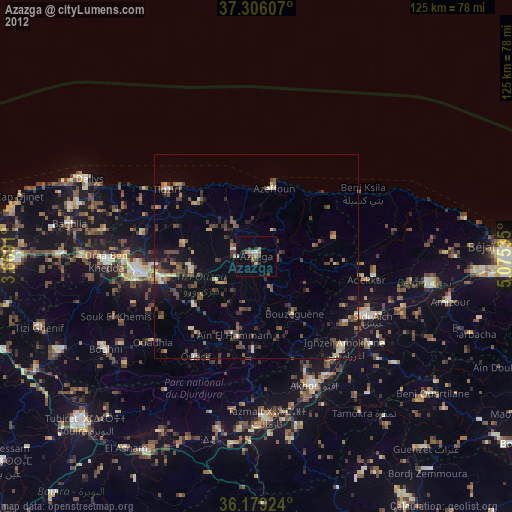
» Earth at Night: Flat Maps 2012, 2016