Otra Banda night lights from space
Night Light of Otra Banda (La Altagracia) from space (Dominican Republic) Src. Average luminocity for 10x10km area is 15.874% and for 50x50km: 4.5097%.
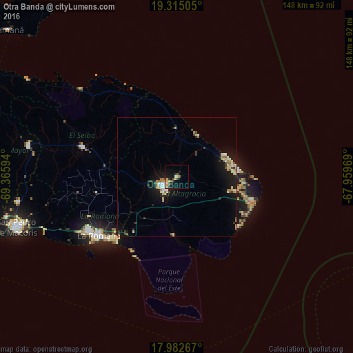
Analysis of Otra Banda night lights 2016
Square area 10x10 km:
 0.62%
0.62%90-99
2.27%80-89
2.48%70-79
3.72%60-69
0%50-59
2.89%40-49
2.69%30-39
1.45%20-29
3.51%10-19
17.77%0-9
62.6%Square area 50x50 km:
0.44%90-99
0.52%80-89
0.84%70-79
0.52%60-69
0.67%50-59
0.38%40-49
0.37%30-39
0.61%20-29
0.71%10-19
4.9%0-9
90.04%Clear (daylight) street map image can be seen on geolist.org.
Map coordinates:
19° 18' 54.2" North, 69° 21' 57.4" West
18° 39' 0.6" North, 68° 39' 46.1" West
17° 58' 57.6" North, 67° 57' 34.9" West
Some cities around Otra Banda sort by population:
• La Romana
41 km =25.5 mi,  232°
232°
• Salvaleón de Higüey
6.2 km =3.9 mi, 230°
• Punta Cana
28.3 km =17.6 mi,  105°
105°
• Hato Mayor del Rey
63.8 km =39.6 mi,  281°
281°
• Santa Cruz de El Seibo
41.6 km =25.8 mi,  287°
287°
• Miches
54.9 km =34.1 mi,  312°
312°
• Guaymate
34 km =21.1 mi,  258°
258°
• San Rafael del Yuma
24.5 km =15.2 mi,  182°
182°
3495694 (p: 6,071)
Sources (retrieved 2019-11-25):
» Earth at Night: Flat Maps 2012, 2016