La Romana night lights from space
Night Light of La Romana from space (Dominican Republic) Src. Average luminocity for 10x10km area is 49.8636% and for 50x50km: 4.8188%.
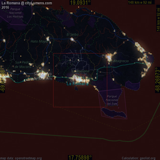
Analysis of La Romana night lights 2016
Square area 10x10 km:
 12.19%
90-99
12.6%80-89
7.23%70-79
4.34%60-69
3.93%50-59
1.24%40-49
2.69%30-39
8.47%20-29
21.49%10-19
25.62%0-9
0.21%Square area 50x50 km:
0.58%90-99
0.83%80-89
0.71%70-79
0.62%60-69
0.5%50-59
0.21%40-49
0.35%30-39
0.82%20-29
1.42%10-19
4.77%0-9
89.19%Clear (daylight) street map image can be seen on geolist.org.
Map coordinates:
19° 5' 35.2" North, 69° 40' 33.5" West
18° 25' 38.4" North, 68° 58' 22.3" West
17° 45' 32.3" North, 68° 16' 11" West
Some cities around La Romana sort by population:
• San Pedro de Macorís
35.5 km =22.1 mi,  274°
274°
• Salvaleón de Higüey
34.9 km =21.7 mi,  53°
53°
• Hato Mayor del Rey
47.8 km =29.7 mi,  321°
321°
• Santa Cruz de El Seibo
38.2 km =23.7 mi,  349°
349°
• Quisqueya
48.1 km =29.9 mi,  287°
287°
• Guaymate
17.9 km =11.1 mi,  358°
358°
• Otra Banda
41 km =25.5 mi, 52°
• San Rafael del Yuma
31.5 km =19.6 mi,  89°
89°
3500957 (p: 208,437)
Sources (retrieved 2019-11-25):
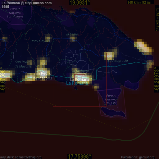
» NASA, Earths city lights 1995
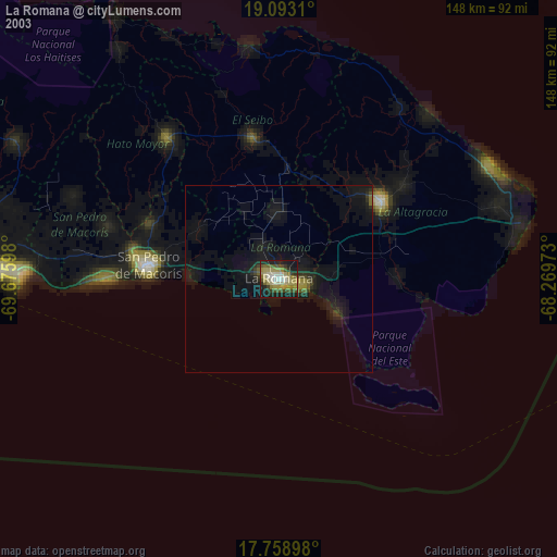
» NASA city lights 2003
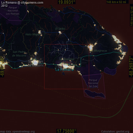
» Earth at Night: Flat Maps 2012, 2016