Vordingborg night lights from space
Night Light of Vordingborg (Zealand) from space (Denmark) Src. Average luminocity for 10x10km area is 4.0682% and for 50x50km: 0.9284%.
Analysis of Vordingborg night lights 2016
Square area 10x10 km:
 0%
0%90-99
0.36%80-89
0.48%70-79
1.08%60-69
1.91%50-59
0%40-49
0.96%30-39
0%20-29
0.72%10-19
0.48%0-9
94.02%Square area 50x50 km:
0.05%90-99
0.07%80-89
0.07%70-79
0.17%60-69
0.13%50-59
0.15%40-49
0.11%30-39
0.41%20-29
0.22%10-19
0.4%0-9
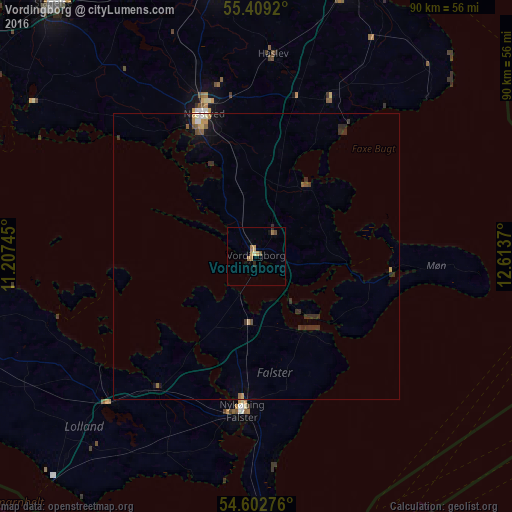
98.22%Clear (daylight) street map image can be seen on geolist.org.
Map coordinates:
55° 24' 33.1" North, 11° 12' 26.8" East
55° 0' 28.8" North, 11° 54' 38.1" East
54° 36' 9.9" North, 12° 36' 49.3" East
Some cities around Vordingborg sort by population:
• Næstved
26.4 km =16.4 mi,  338°
338°
• Køge
52.9 km =32.9 mi,  18°
18°
• Ringsted
48.9 km =30.4 mi,  351°
351°
• Nykøbing Falster
26.7 km =16.6 mi,  184°
184°
• Haslev
35.2 km =21.9 mi,  5°
5°
• Sorø
52.2 km =32.4 mi,  334°
334°
• Skælskør
47.6 km =29.6 mi,  304°
304°
• Maribo
36.8 km =22.9 mi,  225°
225°
2610020 (p: 12,014)
Sources (retrieved 2019-11-25):
» Earth at Night: Flat Maps 2012, 2016