Næstved night lights from space
Night Light of Næstved (Zealand) from space (Denmark) Src. Average luminocity for 10x10km area is 17.89% and for 50x50km: 1.9984%.
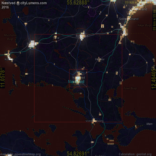
Analysis of Næstved night lights 2016
Square area 10x10 km:
 2.15%
2.15%90-99
2.51%80-89
1.79%70-79
4.67%60-69
1.32%50-59
3.47%40-49
2.03%30-39
0.48%20-29
0%10-19
17.58%0-9
64%Square area 50x50 km:
0.2%90-99
0.25%80-89
0.28%70-79
0.31%60-69
0.21%50-59
0.36%40-49
0.33%30-39
0.22%20-29
0.09%10-19
1.35%0-9
96.4%Clear (daylight) street map image can be seen on geolist.org.
Map coordinates:
55° 37' 44" North, 11° 3' 28.1" East
55° 13' 47.7" North, 11° 45' 39.3" East
54° 49' 36.9" North, 12° 27' 50.6" East
Some cities around Næstved sort by population:
• Køge
36.8 km =22.9 mi,  46°
46°
• Slagelse
32.1 km =19.9 mi,  306°
306°
• Ringsted
23.7 km =14.7 mi,  4°
4°
• Korsør
41 km =25.5 mi,  285°
285°
• Vordingborg
26.4 km =16.4 mi,  158°
158°
• Haslev
16.5 km =10.3 mi, 51°
• Sorø
25.9 km =16.1 mi,  329°
329°
• Skælskør
29.7 km =18.5 mi,  274°
274°
2616038 (p: 40,660)
Sources (retrieved 2019-11-25):
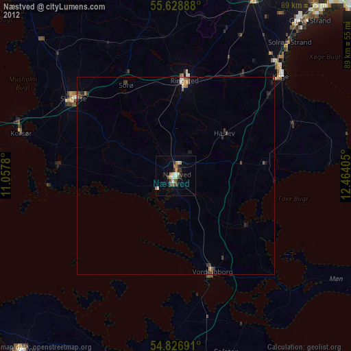
» Earth at Night: Flat Maps 2012, 2016