Køge night lights from space
Night Light of Køge (Zealand) from space (Denmark) Src. Average luminocity for 10x10km area is 19.5952% and for 50x50km: 10.962%.
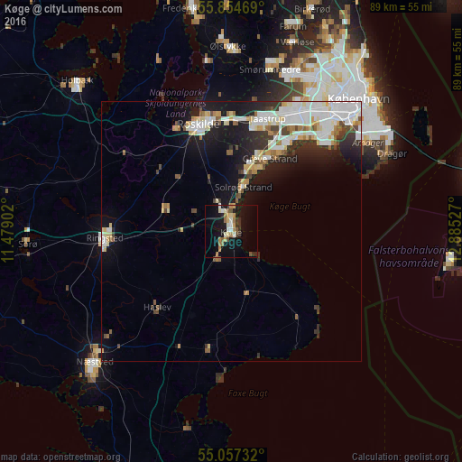
Analysis of Køge night lights 2016
Square area 10x10 km:
 0.63%
0.63%90-99
4.26%80-89
2.01%70-79
2.51%60-69
4.76%50-59
1.75%40-49
1.75%30-39
2.63%20-29
2.01%10-19
21.3%0-9
56.39%Square area 50x50 km:
2.68%90-99
2.6%80-89
1.23%70-79
0.89%60-69
0.93%50-59
0.95%40-49
0.95%30-39
1.33%20-29
2.13%10-19
7.24%0-9
79.07%Clear (daylight) street map image can be seen on geolist.org.
Map coordinates:
55° 51' 16.9" North, 11° 28' 44.5" East
55° 27' 28.9" North, 12° 10' 55.7" East
55° 3' 26.4" North, 12° 53' 7" East
Some cities around Køge sort by population:
• Greve
15.8 km =9.8 mi,  28°
28°
• Roskilde
21.4 km =13.3 mi,  342°
342°
• Taastrup
22.6 km =14 mi,  19°
19°
• Ishøj
20.5 km =12.7 mi, 31°
• Solrød Strand
8.7 km =5.4 mi, 16°
• Vallensbæk
22.3 km =13.9 mi,  35°
35°
• Haslev
20.3 km =12.6 mi,  222°
222°
• Tune
15 km =9.3 mi,  357°
357°
2618415 (p: 33,885)
Sources (retrieved 2019-11-25):
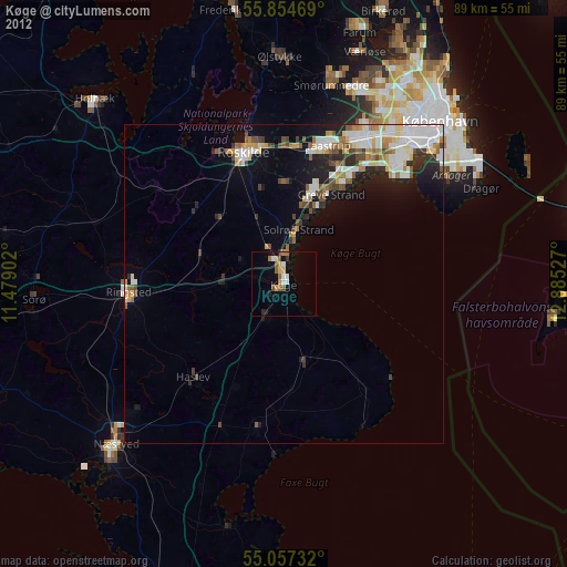
» Earth at Night: Flat Maps 2012, 2016