Roskilde night lights from space
Night Light of Roskilde (Zealand) from space (Denmark) Src. Average luminocity for 10x10km area is 29.3732% and for 50x50km: 15.0741%.
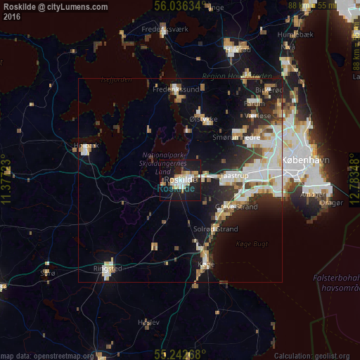
Analysis of Roskilde night lights 2016
Square area 10x10 km:
 5.02%
5.02%90-99
5.38%80-89
5.26%70-79
3.11%60-69
2.87%50-59
1.91%40-49
2.03%30-39
0.24%20-29
2.15%10-19
45.57%0-9
26.44%Square area 50x50 km:
3.01%90-99
3.4%80-89
1.77%70-79
1.45%60-69
1.6%50-59
1.38%40-49
1.45%30-39
1.77%20-29
3.22%10-19
9.91%0-9
71.06%Clear (daylight) street map image can be seen on geolist.org.
Map coordinates:
56° 2' 10.8" North, 11° 22' 38" East
55° 38' 29.5" North, 12° 4' 49.3" East
55° 14' 33.6" North, 12° 47' 0.5" East
Some cities around Roskilde sort by population:
• Greve
15.2 km =9.4 mi,  115°
115°
• Taastrup
13.9 km =8.6 mi,  86°
86°
• Stenløse
15.9 km =9.9 mi,  27°
27°
• Ishøj
17.3 km =10.7 mi,  99°
99°
• Solrød Strand
15 km =9.3 mi,  143°
143°
• Fløng
7.1 km =4.4 mi,  71°
71°
• Jyllinge
12.5 km =7.8 mi,  6°
6°
• Tune
7.8 km =4.8 mi,  133°
133°
2614481 (p: 44,285)
Sources (retrieved 2019-11-25):
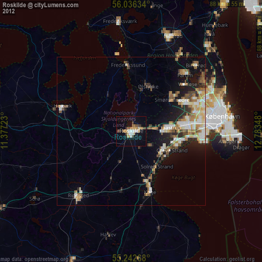
» Earth at Night: Flat Maps 2012, 2016