Kalundborg night lights from space
Night Light of Kalundborg (Zealand) from space (Denmark) Src. Average luminocity for 10x10km area is 22.561% and for 50x50km: 1.2313%.
Analysis of Kalundborg night lights 2016
Square area 10x10 km:
 4.19%
4.19%90-99
5.14%80-89
2.87%70-79
1.2%60-69
1.91%50-59
2.87%40-49
1.08%30-39
1.91%20-29
0.84%10-19
27.87%0-9
50.12%Square area 50x50 km:
0.17%90-99
0.21%80-89
0.13%70-79
0.11%60-69
0.11%50-59
0.2%40-49
0.12%30-39
0.27%20-29
0.03%10-19
1.17%0-9
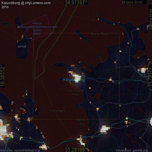
97.49%Clear (daylight) street map image can be seen on geolist.org.
Map coordinates:
56° 4' 26.3" North, 10° 23' 7.9" East
55° 40' 46.3" North, 11° 5' 19.1" East
55° 16' 51.9" North, 11° 47' 30.4" East
Some cities around Kalundborg sort by population:
• Slagelse
35 km =21.7 mi,  151°
151°
• Holbæk
39.3 km =24.4 mi,  83°
83°
• Nyborg
44.9 km =27.9 mi,  204°
204°
• Korsør
39 km =24.2 mi,  175°
175°
• Sorø
40.3 km =25 mi,  133°
133°
• Kerteminde
37.3 km =23.2 mi,  226°
226°
• Nykøbing Sjælland
45.5 km =28.3 mi,  53°
53°
• Munkebo
41.8 km =26 mi, 233°
2619154 (p: 15,939)
Sources (retrieved 2019-11-25):
» Earth at Night: Flat Maps 2012, 2016