Walsrode night lights from space
Night Light of Walsrode (Lower Saxony) from space (Germany) Src. Average luminocity for 10x10km area is 1.601% and for 50x50km: 0.6635%.
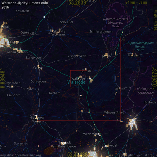
Analysis of Walsrode night lights 2016
Square area 10x10 km:
 0%
0%90-99
0%80-89
0.25%70-79
0.25%60-69
0.51%50-59
0.51%40-49
0.51%30-39
0%20-29
0%10-19
0%0-9
97.98%Square area 50x50 km:
0.05%90-99
0.06%80-89
0.03%70-79
0.13%60-69
0.15%50-59
0.24%40-49
0.14%30-39
0.12%20-29
0.04%10-19
0.02%0-9
99.01%Clear (daylight) street map image can be seen on geolist.org.
Map coordinates:
53° 17' 2" North, 8° 53' 22.1" East
52° 51' 41.3" North, 9° 35' 33.4" East
52° 26' 5.6" North, 10° 17' 44.6" East
Some cities around Walsrode sort by population:
• Soltau
21.8 km =13.5 mi,  50°
50°
• Bad Fallingbostel
6.9 km =4.3 mi,  85°
85°
• Visselhövede
13.8 km =8.6 mi,  357°
357°
• Kirchlinteln
20.5 km =12.7 mi,  296°
296°
• Dörverden
24.2 km =15 mi,  266°
266°
• Bomlitz
5.8 km =3.6 mi,  41°
41°
• Neuenkirchen
20.5 km =12.7 mi,  21°
21°
• Schwarmstedt
20.5 km =12.7 mi,  175°
175°
2814462 (p: 24,448)
Sources (retrieved 2019-11-25):
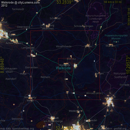
» Earth at Night: Flat Maps 2012, 2016