Soltau night lights from space
Night Light of Soltau (Lower Saxony) from space (Germany) Src. Average luminocity for 10x10km area is 3.1508% and for 50x50km: 0.5675%.
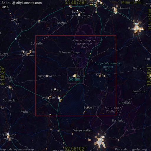
Analysis of Soltau night lights 2016
Square area 10x10 km:
 0%
0%90-99
0%80-89
0.4%70-79
0.93%60-69
0.79%50-59
1.59%40-49
0.53%30-39
0%20-29
0%10-19
0%0-9
95.77%Square area 50x50 km:
0.04%90-99
0.04%80-89
0.05%70-79
0.11%60-69
0.13%50-59
0.21%40-49
0.11%30-39
0.09%20-29
0.03%10-19
0.04%0-9
99.15%Clear (daylight) street map image can be seen on geolist.org.
Map coordinates:
53° 24' 27.3" North, 9° 8' 24.9" East
52° 59' 11" North, 9° 50' 36.2" East
52° 33' 39.7" North, 10° 32' 47.4" East
Some cities around Soltau sort by population:
• Schneverdingen
14.9 km =9.3 mi,  347°
347°
• Munster
16.3 km =10.1 mi,  90°
90°
• Bergen
21.4 km =13.3 mi,  157°
157°
• Bad Fallingbostel
16.6 km =10.3 mi,  216°
216°
• Visselhövede
17.5 km =10.9 mi,  269°
269°
• Bomlitz
16.1 km =10 mi,  233°
233°
• Bispingen
14.9 km =9.3 mi,  43°
43°
• Neuenkirchen
10.5 km =6.5 mi,  299°
299°
2831486 (p: 21,945)
Sources (retrieved 2019-11-25):
» Earth at Night: Flat Maps 2012, 2016