Waldkraiburg night lights from space
Night Light of Waldkraiburg (Bavaria) from space (Germany) Src. Average luminocity for 10x10km area is 9.0223% and for 50x50km: 2.2956%.
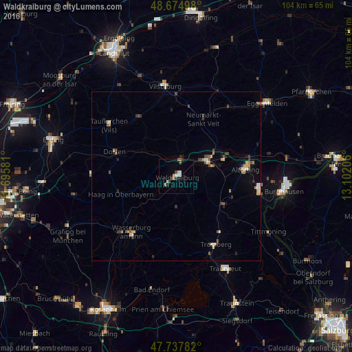
Analysis of Waldkraiburg night lights 2016
Square area 10x10 km:
 1.64%
1.64%90-99
1.79%80-89
0.45%70-79
0.74%60-69
1.34%50-59
0.6%40-49
1.19%30-39
1.79%20-29
1.49%10-19
0.6%0-9
88.39%Square area 50x50 km:
0.19%90-99
0.27%80-89
0.31%70-79
0.32%60-69
0.28%50-59
0.29%40-49
0.47%30-39
0.39%20-29
0.31%10-19
0.33%0-9
96.83%Clear (daylight) street map image can be seen on geolist.org.
Map coordinates:
48° 40' 29.9" North, 11° 41' 44.9" East
48° 12' 30.7" North, 12° 23' 56.1" East
47° 44' 16.2" North, 13° 6' 7.4" East
Some cities around Waldkraiburg sort by population:
• Mühldorf
10 km =6.2 mi,  64°
64°
• Altdorf
17 km =10.6 mi,  249°
249°
• Töging am Inn
14.9 km =9.3 mi,  67°
67°
• Garching an der Alz
15.8 km =9.8 mi,  121°
121°
• Neumarkt-Sankt Veit
18.7 km =11.6 mi,  25°
25°
• Haag in Oberbayern
17.1 km =10.6 mi, 252°
• Ampfing
5.2 km =3.2 mi,  13°
13°
• Rohrbach
14.7 km =9.1 mi,  52°
52°
2814874 (p: 24,676)
Sources (retrieved 2019-11-25):
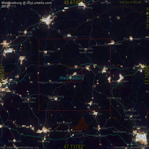
» Earth at Night: Flat Maps 2012, 2016