Velburg night lights from space
Night Light of Velburg (Bavaria) from space (Germany) Src. Average luminocity for 10x10km area is 0.3503% and for 50x50km: 2.1405%.
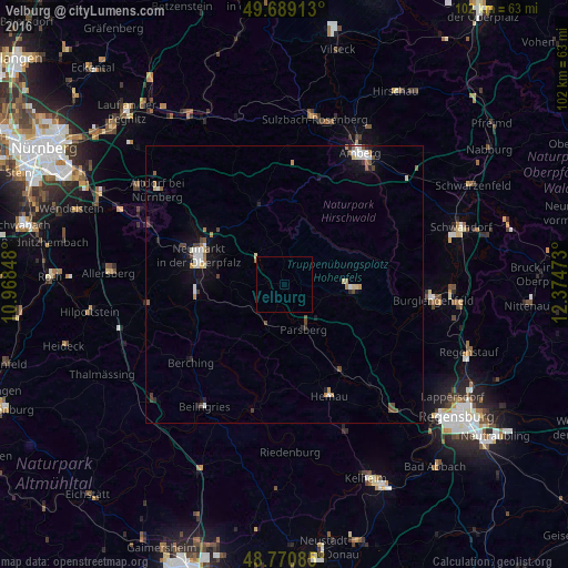
Analysis of Velburg night lights 2016
Square area 10x10 km:
 0%
0%90-99
0%80-89
0.13%70-79
0%60-69
0%50-59
0.27%40-49
0%30-39
0%20-29
0%10-19
0%0-9
99.6%Square area 50x50 km:
0.26%90-99
0.4%80-89
0.24%70-79
0.17%60-69
0.23%50-59
0.26%40-49
0.41%30-39
0.25%20-29
0.28%10-19
1.19%0-9
96.3%Clear (daylight) street map image can be seen on geolist.org.
Map coordinates:
49° 41' 20.9" North, 10° 58' 6.5" East
49° 13' 55.6" North, 11° 40' 17.8" East
48° 46' 15.1" North, 12° 22' 29" East
Some cities around Velburg sort by population:
• Neumarkt in der Oberpfalz
16.1 km =10 mi,  289°
289°
• Berching
21.8 km =13.5 mi,  230°
230°
• Hemau
21.4 km =13.3 mi,  157°
157°
• Postbauer-Heng
24.2 km =15 mi, 289°
• Parsberg
8.6 km =5.3 mi, 156°
• Dietfurt
22.7 km =14.1 mi,  195°
195°
• Beratzhausen
18.2 km =11.3 mi,  146°
146°
• Seubersdorf
8.4 km =5.2 mi, 202°
2817722 (p: 5,373)
Sources (retrieved 2019-11-25):
» Earth at Night: Flat Maps 2012, 2016