Postbauer-Heng night lights from space
Night Light of Postbauer-Heng (Bavaria) from space (Germany) Src. Average luminocity for 10x10km area is 2.4693% and for 50x50km: 9.0495%.
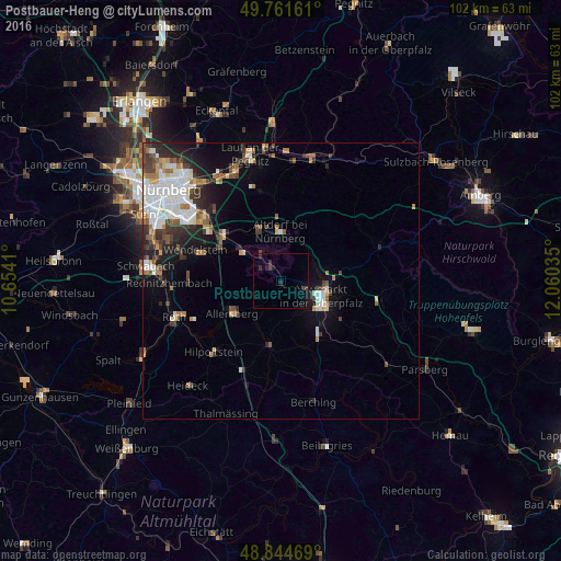
Analysis of Postbauer-Heng night lights 2016
Square area 10x10 km:
 0%
0%90-99
0%80-89
0%70-79
0%60-69
0%50-59
0%40-49
0.67%30-39
2.27%20-29
0.94%10-19
2.14%0-9
93.98%Square area 50x50 km:
2.14%90-99
1.76%80-89
0.65%70-79
0.71%60-69
1.06%50-59
1.12%40-49
1.22%30-39
1.39%20-29
2.28%10-19
3.9%0-9
83.79%Clear (daylight) street map image can be seen on geolist.org.
Map coordinates:
49° 45' 41.8" North, 10° 39' 14.8" East
49° 18' 19" North, 11° 21' 26" East
48° 50' 40.9" North, 12° 3' 37.3" East
Some cities around Postbauer-Heng sort by population:
• Neumarkt in der Oberpfalz
8.1 km =5 mi,  109°
109°
• Altdorf
8.9 km =5.5 mi,  0°
0°
• Feucht
13 km =8.1 mi,  307°
307°
• Burgthann
6.2 km =3.9 mi,  327°
327°
• Schwarzenbruck
10.1 km =6.3 mi, 305°
• Freystadt
11.9 km =7.4 mi,  189°
189°
• Allersberg
10.6 km =6.6 mi,  235°
235°
• Pyrbaum
5.2 km =3.2 mi,  258°
258°
3206934 (p: 7,358)
Sources (retrieved 2019-11-25):
» Earth at Night: Flat Maps 2012, 2016