Unterhaching night lights from space
Night Light of Unterhaching (Bavaria) from space (Germany) Src. Average luminocity for 10x10km area is 48.5085% and for 50x50km: 18.836%.
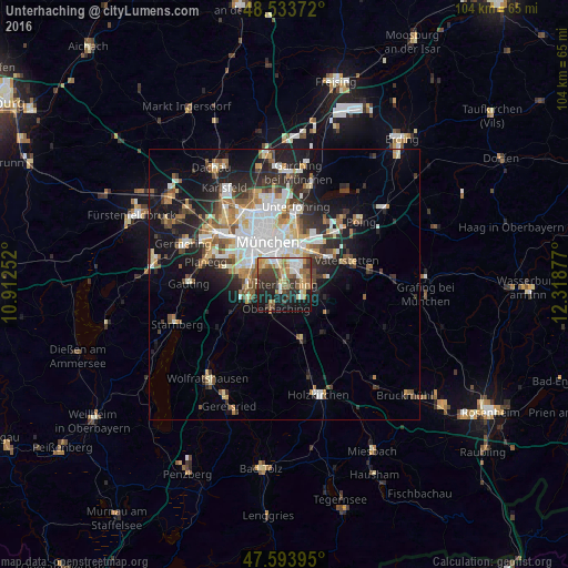
Analysis of Unterhaching night lights 2016
Square area 10x10 km:
 6.25%
6.25%90-99
10.23%80-89
5.68%70-79
5.97%60-69
8.24%50-59
8.1%40-49
7.81%30-39
11.36%20-29
10.51%10-19
21.88%0-9
3.98%Square area 50x50 km:
3.77%90-99
3.86%80-89
1.8%70-79
1.91%60-69
2.3%50-59
2.58%40-49
2.22%30-39
2.82%20-29
5.12%10-19
9.76%0-9
63.86%Clear (daylight) street map image can be seen on geolist.org.
Map coordinates:
48° 32' 1.4" North, 10° 54' 45.1" East
48° 3' 57.5" North, 11° 36' 56.3" East
47° 35' 38.2" North, 12° 19' 7.6" East
Some cities around Unterhaching sort by population:
• Ottobrunn
3.5 km =2.2 mi,  91°
91°
• Taufkirchen
1.9 km =1.2 mi,  176°
176°
• Neubiberg
3.4 km =2.1 mi,  68°
68°
• Oberhaching
4.8 km =3 mi,  196°
196°
• Grünwald
7.5 km =4.7 mi,  246°
246°
• Hohenbrunn
6.7 km =4.2 mi,  107°
107°
• Pullach im Isartal
7 km =4.3 mi,  265°
265°
• Putzbrunn
7.5 km =4.7 mi,  81°
81°
2819465 (p: 20,852)
Sources (retrieved 2019-11-25):
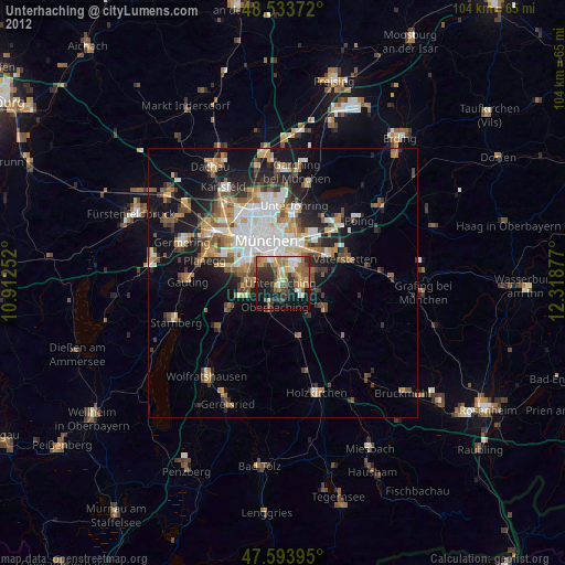
» Earth at Night: Flat Maps 2012, 2016