Tübingen night lights from space
Night Light of Tübingen (Baden-Württemberg) from space (Germany) Src. Average luminocity for 10x10km area is 25.5341% and for 50x50km: 14.8862%.
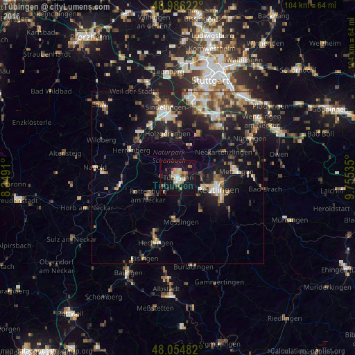
Analysis of Tübingen night lights 2016
Square area 10x10 km:
 2.7%
2.7%90-99
4.83%80-89
3.41%70-79
3.69%60-69
2.41%50-59
3.13%40-49
2.13%30-39
2.56%20-29
1.42%10-19
40.63%0-9
33.1%Square area 50x50 km:
1.73%90-99
2.12%80-89
1.58%70-79
1.85%60-69
2.2%50-59
2.25%40-49
1.99%30-39
2.09%20-29
4.87%10-19
11.87%0-9
67.45%Clear (daylight) street map image can be seen on geolist.org.
Map coordinates:
48° 59' 10.4" North, 8° 20' 56.8" East
48° 31' 21.6" North, 9° 3' 8" East
48° 3' 17.4" North, 9° 45' 19.3" East
Some cities around Tübingen sort by population:
• Rottenburg
10 km =6.2 mi,  239°
239°
• Weil im Schönbuch
11.2 km =7 mi,  4°
4°
• Gomaringen
8.3 km =5.2 mi,  157°
157°
• Kusterdingen
5 km =3.1 mi,  89°
89°
• Kirchentellinsfurt
7.1 km =4.4 mi,  80°
80°
• Dettenhausen
10.1 km =6.3 mi,  20°
20°
• Dußlingen
7.7 km =4.8 mi,  178°
178°
• Wannweil
7.2 km =4.5 mi,  95°
95°
2820860 (p: 83,416)
Sources (retrieved 2019-11-25):
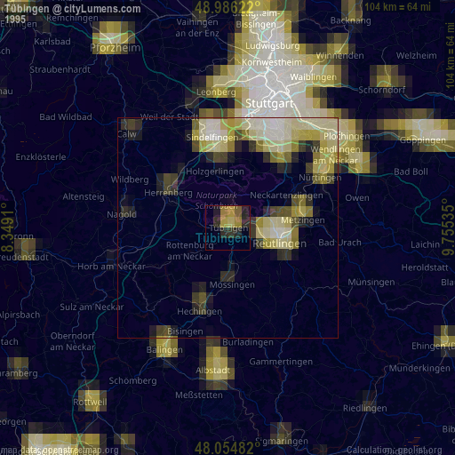
» NASA, Earths city lights 1995
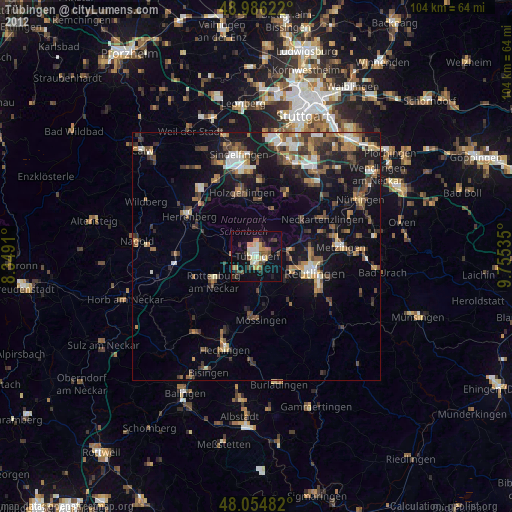
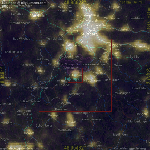
» NASA city lights 2003
» Earth at Night: Flat Maps 2012, 2016