Suhl night lights from space
Night Light of Suhl (Thuringia) from space (Germany) Src. Average luminocity for 10x10km area is 17.9799% and for 50x50km: 2.2518%.
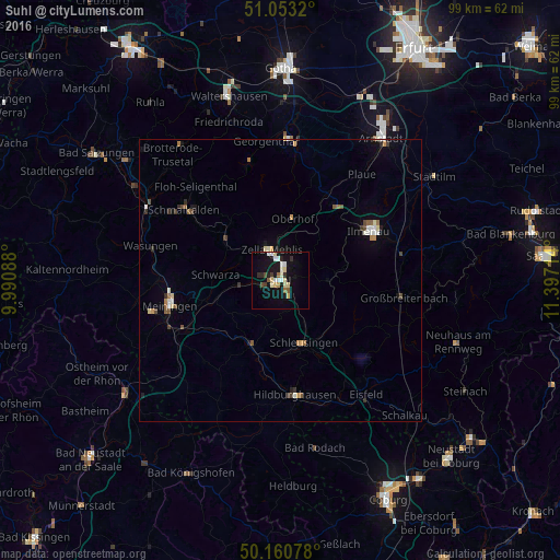
Analysis of Suhl night lights 2016
Square area 10x10 km:
 2.27%
2.27%90-99
4.55%80-89
3.74%70-79
0.67%60-69
0.8%50-59
1.34%40-49
1.07%30-39
1.74%20-29
2.27%10-19
19.12%0-9
62.43%Square area 50x50 km:
0.21%90-99
0.46%80-89
0.26%70-79
0.22%60-69
0.21%50-59
0.33%40-49
0.27%30-39
0.26%20-29
0.29%10-19
1.11%0-9
96.37%Clear (daylight) street map image can be seen on geolist.org.
Map coordinates:
51° 3' 11.5" North, 9° 59' 27.2" East
50° 36' 32.8" North, 10° 41' 38.4" East
50° 9' 38.8" North, 11° 23' 49.7" East
Some cities around Suhl sort by population:
• Ilmenau
17.8 km =11.1 mi,  62°
62°
• Meiningen
20.2 km =12.6 mi,  256°
256°
• Schmalkalden
21.6 km =13.4 mi,  305°
305°
• Zella-Mehlis
5.8 km =3.6 mi,  335°
335°
• Hildburghausen
20.6 km =12.8 mi,  172°
172°
• Neuhaus
18.8 km =11.7 mi, 63°
• Schleusingen
11.8 km =7.3 mi,  157°
157°
• Steinbach-Hallenberg
13.3 km =8.3 mi,  316°
316°
2824948 (p: 43,509)
Sources (retrieved 2019-11-25):
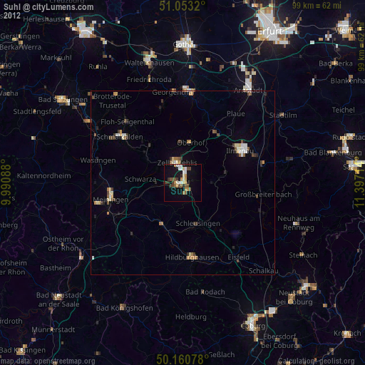
» Earth at Night: Flat Maps 2012, 2016