Spandau night lights from space
Night Light of Spandau (Berlin) from space (Germany) Src. Average luminocity for 10x10km area is 62.3929% and for 50x50km: 33.7664%.
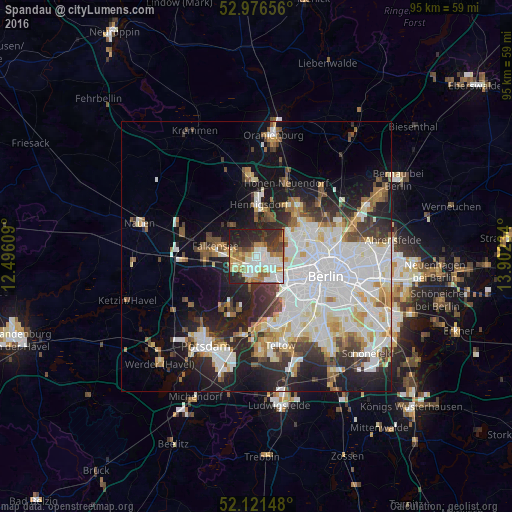
Analysis of Spandau night lights 2016
Square area 10x10 km:
 13.36%
90-99
18.12%80-89
7.67%70-79
7.8%60-69
8.86%50-59
3.97%40-49
7.01%30-39
7.67%20-29
18.92%10-19
6.61%0-9
0%Square area 50x50 km:
10.33%90-99
8.52%80-89
3.27%70-79
2.54%60-69
2.9%50-59
3.07%40-49
3.21%30-39
3.68%20-29
7.38%10-19
11.79%0-9
43.31%Clear (daylight) street map image can be seen on geolist.org.
Map coordinates:
52° 58' 35.6" North, 12° 29' 45.9" East
52° 33' 4" North, 13° 11' 57.2" East
52° 7' 17.3" North, 13° 54' 8.4" East
Some cities around Spandau sort by population:
• Staaken
3.7 km =2.3 mi,  243°
243°
• Westend
6.4 km =4 mi,  125°
125°
• Wilhelmstadt
3.3 km =2.1 mi,  206°
206°
• Falkenhagener Feld
2.1 km =1.3 mi,  272°
272°
• Hakenfelde
1.1 km =0.7 mi,  35°
35°
• Haselhorst
2.7 km =1.7 mi,  106°
106°
• Siemensstadt
4.5 km =2.8 mi, 105°
• Konradshöhe
4.3 km =2.7 mi,  26°
26°
7290252 (p: 34,506)
Sources (retrieved 2019-11-25):
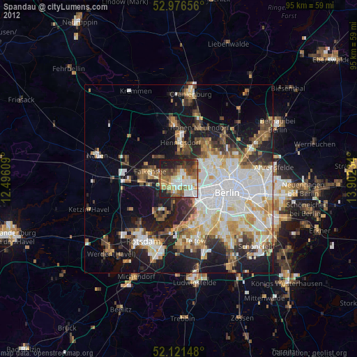
» Earth at Night: Flat Maps 2012, 2016