Schwalbach am Taunus night lights from space
Night Light of Schwalbach am Taunus (Hesse) from space (Germany) Src. Average luminocity for 10x10km area is 60.3409% and for 50x50km: 30.1154%.
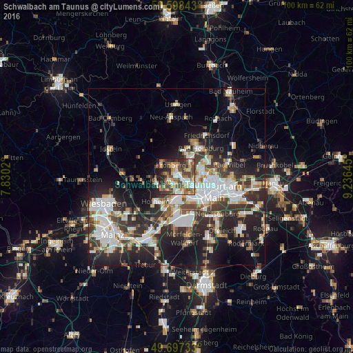
Analysis of Schwalbach am Taunus night lights 2016
Square area 10x10 km:
 9.63%
9.63%90-99
10.43%80-89
7.49%70-79
8.96%60-69
13.77%50-59
8.02%40-49
15.11%30-39
12.43%20-29
12.17%10-19
2.01%0-9
0%Square area 50x50 km:
6.89%90-99
6.66%80-89
2.64%70-79
2.61%60-69
3.09%50-59
2.67%40-49
4.15%30-39
5.6%20-29
9.99%10-19
13.84%0-9
41.85%Clear (daylight) street map image can be seen on geolist.org.
Map coordinates:
50° 35' 54.3" North, 7° 49' 48.7" East
50° 9' 0" North, 8° 31' 60" East
49° 41' 50.4" North, 9° 14' 11.2" East
Some cities around Schwalbach am Taunus sort by population:
• Bad Soden am Taunus
2.3 km =1.4 mi,  243°
243°
• Eschborn
2.8 km =1.7 mi,  105°
105°
• Kronberg
3.9 km =2.4 mi,  349°
349°
• Kronberg Tal
3.9 km =2.4 mi,  327°
327°
• Königstein im Taunus
5.5 km =3.4 mi,  306°
306°
• Steinbach am Taunus
3.4 km =2.1 mi,  54°
54°
• Liederbach
4.2 km =2.6 mi,  222°
222°
• Sulzbach
1.8 km =1.1 mi,  192°
192°
2835381 (p: 14,192)
Sources (retrieved 2019-11-25):
» Earth at Night: Flat Maps 2012, 2016