Ostseebad Binz night lights from space
Night Light of Ostseebad Binz (Mecklenburg-Vorpommern) from space (Germany) Src. Average luminocity for 10x10km area is 1.7679% and for 50x50km: 0.5659%.
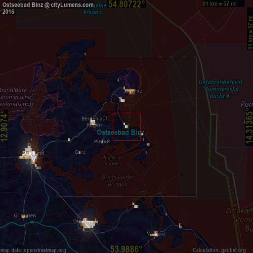
Analysis of Ostseebad Binz night lights 2016
Square area 10x10 km:
 0.6%
0.6%90-99
0.36%80-89
0%70-79
0%60-69
0.24%50-59
0.48%40-49
0%30-39
0.24%20-29
0%10-19
0.48%0-9
97.61%Square area 50x50 km:
0.07%90-99
0.07%80-89
0.02%70-79
0.06%60-69
0.13%50-59
0.14%40-49
0.11%30-39
0.08%20-29
0.1%10-19
0.03%0-9
99.17%Clear (daylight) street map image can be seen on geolist.org.
Map coordinates:
54° 48' 26" North, 12° 54' 26.6" East
54° 23' 59.8" North, 13° 36' 37.9" East
53° 59' 19" North, 14° 18' 49.1" East
Some cities around Ostseebad Binz sort by population:
• Stralsund
35.7 km =22.2 mi,  253°
253°
• Greifswald
37.1 km =23.1 mi,  202°
202°
• Bergen auf Rügen
11.6 km =7.2 mi,  280°
280°
• Anklam
60.7 km =37.7 mi,  175°
175°
• Wolgast
40 km =24.9 mi,  164°
164°
• Saßnitz
13.1 km =8.1 mi,  9°
9°
• Grimmen
48.9 km =30.4 mi,  229°
229°
• Barth
57.5 km =35.7 mi,  265°
265°
2856198 (p: 5,531)
Sources (retrieved 2019-11-25):
» Earth at Night: Flat Maps 2012, 2016