Olching night lights from space
Night Light of Olching (Bavaria) from space (Germany) Src. Average luminocity for 10x10km area is 25.4137% and for 50x50km: 16.6294%.
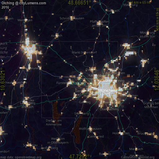
Analysis of Olching night lights 2016
Square area 10x10 km:
 0.6%
0.6%90-99
1.19%80-89
2.98%70-79
0.3%60-69
7.59%50-59
4.32%40-49
6.55%30-39
4.02%20-29
8.48%10-19
46.28%0-9
17.71%Square area 50x50 km:
3.63%90-99
3.44%80-89
1.7%70-79
1.72%60-69
2.05%50-59
2.11%40-49
1.83%30-39
2.33%20-29
3.92%10-19
8.23%0-9
69.04%Clear (daylight) street map image can be seen on geolist.org.
Map coordinates:
48° 39' 59.4" North, 10° 37' 48.8" East
48° 12' 0" North, 11° 19' 60" East
47° 43' 45.1" North, 12° 2' 11.3" East
Some cities around Olching sort by population:
• Germering
8 km =5 mi,  156°
156°
• Fürstenfeldbruck
6.3 km =3.9 mi,  248°
248°
• Puchheim
5.7 km =3.5 mi,  167°
167°
• Gröbenzell
2.5 km =1.6 mi,  90°
90°
• Maisach
5.3 km =3.3 mi,  290°
290°
• Eichenau
3.9 km =2.4 mi,  198°
198°
• Bergkirchen
6.7 km =4.2 mi,  20°
20°
• Emmering
4.1 km =2.5 mi,  243°
243°
2857472 (p: 23,978)
Sources (retrieved 2019-11-25):
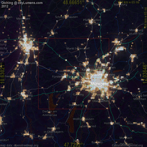
» Earth at Night: Flat Maps 2012, 2016