Neustadt an der Aisch night lights from space
Night Light of Neustadt an der Aisch (Bavaria) from space (Germany) Src. Average luminocity for 10x10km area is 2.6877% and for 50x50km: 2.5365%.
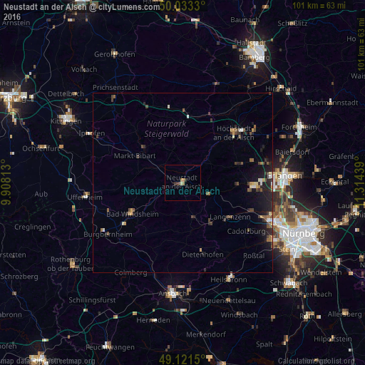
Analysis of Neustadt an der Aisch night lights 2016
Square area 10x10 km:
 0%
0%90-99
0%80-89
0.56%70-79
0.14%60-69
1.54%50-59
0%40-49
0.56%30-39
0.7%20-29
0.98%10-19
0%0-9
95.52%Square area 50x50 km:
0.15%90-99
0.25%80-89
0.17%70-79
0.3%60-69
0.28%50-59
0.43%40-49
0.65%30-39
0.48%20-29
1.03%10-19
2.07%0-9
94.19%Clear (daylight) street map image can be seen on geolist.org.
Map coordinates:
50° 1' 59.9" North, 9° 54' 29.3" East
49° 34' 46.3" North, 10° 36' 40.5" East
49° 7' 17.4" North, 11° 18' 51.8" East
Some cities around Neustadt an der Aisch sort by population:
• Bad Windsheim
16.5 km =10.3 mi,  238°
238°
• Langenzenn
16.1 km =10 mi,  125°
125°
• Adelsdorf
13.3 km =8.3 mi,  156°
156°
• Emskirchen
7.9 km =4.9 mi,  112°
112°
• Weisendorf
16.2 km =10.1 mi,  72°
72°
• Schlüsselfeld
19.7 km =12.2 mi,  1°
1°
• Markt Erlbach
10 km =6.2 mi, 162°
• Wilhermsdorf
13.1 km =8.1 mi,  144°
144°
2864057 (p: 12,448)
Sources (retrieved 2019-11-25):
» Earth at Night: Flat Maps 2012, 2016