Bad Windsheim night lights from space
Night Light of Bad Windsheim (Bavaria) from space (Germany) Src. Average luminocity for 10x10km area is 3.6569% and for 50x50km: 1.6481%.
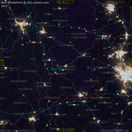
Analysis of Bad Windsheim night lights 2016
Square area 10x10 km:
 0%
0%90-99
0.42%80-89
0.42%70-79
1.96%60-69
0%50-59
0.56%40-49
0.56%30-39
0.56%20-29
0%10-19
0.7%0-9
94.82%Square area 50x50 km:
0.15%90-99
0.16%80-89
0.15%70-79
0.3%60-69
0.28%50-59
0.21%40-49
0.42%30-39
0.21%20-29
0.25%10-19
0.52%0-9
97.35%Clear (daylight) street map image can be seen on geolist.org.
Map coordinates:
49° 57' 26" North, 9° 42' 44.2" East
49° 30' 9.9" North, 10° 24' 55.4" East
49° 2' 38.4" North, 11° 7' 6.7" East
Some cities around Bad Windsheim sort by population:
• Neustadt an der Aisch
16.5 km =10.3 mi,  58°
58°
• Rothenburg ob der Tauber
21.5 km =13.4 mi,  230°
230°
• Adelsdorf
19.8 km =12.3 mi,  100°
100°
• Uffenheim
14 km =8.7 mi,  289°
289°
• Emskirchen
22.2 km =13.8 mi,  75°
75°
• Markt Erlbach
17.2 km =10.7 mi,  93°
93°
• Leutershausen
22.7 km =14.1 mi,  180°
180°
• Wilhermsdorf
21.8 km =13.5 mi, 95°
2953314 (p: 12,022)
Sources (retrieved 2019-11-25):
» Earth at Night: Flat Maps 2012, 2016