Münster night lights from space
Night Light of Münster (North Rhine-Westphalia) from space (Germany) Src. Average luminocity for 10x10km area is 47.0657% and for 50x50km: 5.3472%.

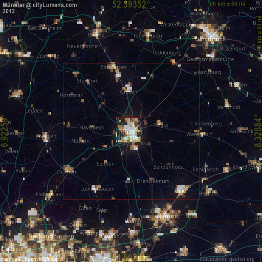
Analysis of Münster night lights 2016
Square area 10x10 km:
 8.84%
8.84%90-99
11.99%80-89
3.03%70-79
6.31%60-69
5.18%50-59
5.93%40-49
8.84%30-39
5.18%20-29
13.64%10-19
22.73%0-9
8.33%Square area 50x50 km:
0.64%90-99
0.81%80-89
0.28%70-79
0.56%60-69
0.86%50-59
0.9%40-49
1.12%30-39
0.7%20-29
1.14%10-19
3.11%0-9
89.86%Clear (daylight) street map image can be seen on geolist.org.
Map coordinates:
52° 23' 36.7" North, 6° 55' 21.3" East
51° 57' 44.5" North, 7° 37' 32.6" East
51° 31' 37.2" North, 8° 19' 43.8" East
Some cities around Münster sort by population:
• Greven
14.8 km =9.2 mi,  351°
351°
• Senden
15.3 km =9.5 mi,  219°
219°
• Telgte
10.9 km =6.8 mi,  79°
79°
• Havixbeck
14.5 km =9 mi,  279°
279°
• Ostbevern
17.2 km =10.7 mi,  59°
59°
• Altenberge
14.6 km =9.1 mi,  311°
311°
• Everswinkel
15.7 km =9.8 mi,  104°
104°
• Nordwalde
16.6 km =10.3 mi,  324°
324°
2867543 (p: 270,184)
Sources (retrieved 2019-11-25):
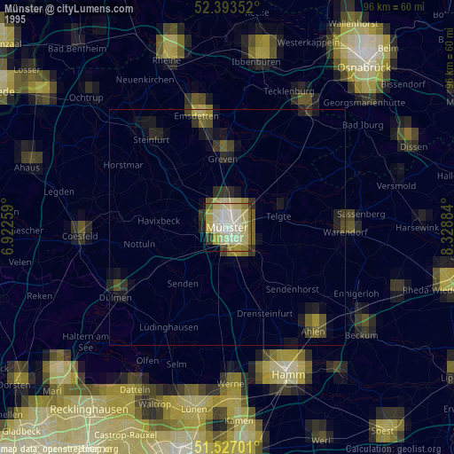
» NASA, Earths city lights 1995
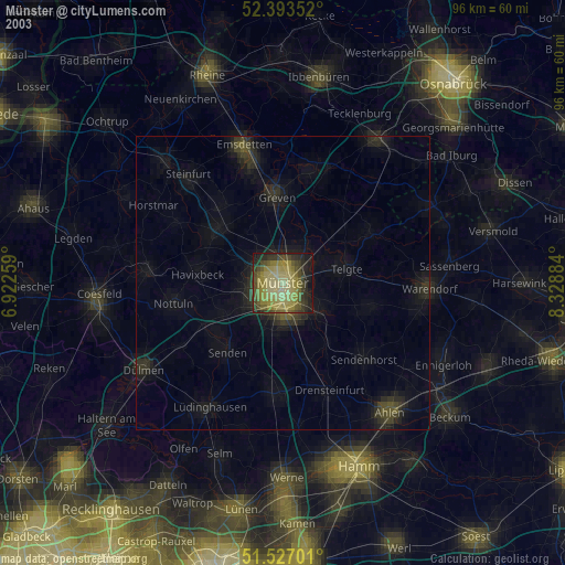
» NASA city lights 2003
» Earth at Night: Flat Maps 2012, 2016