Melsungen night lights from space
Night Light of Melsungen (Hesse) from space (Germany) Src. Average luminocity for 10x10km area is 2.6952% and for 50x50km: 4.4289%.
Analysis of Melsungen night lights 2016
Square area 10x10 km:
 0.94%
0.94%90-99
0.53%80-89
0%70-79
0.53%60-69
0.13%50-59
0.4%40-49
0%30-39
0%20-29
0.53%10-19
0%0-9
96.93%Square area 50x50 km:
0.8%90-99
1.14%80-89
0.4%70-79
0.45%60-69
0.5%50-59
0.54%40-49
0.43%30-39
0.56%20-29
1.12%10-19
2.34%0-9
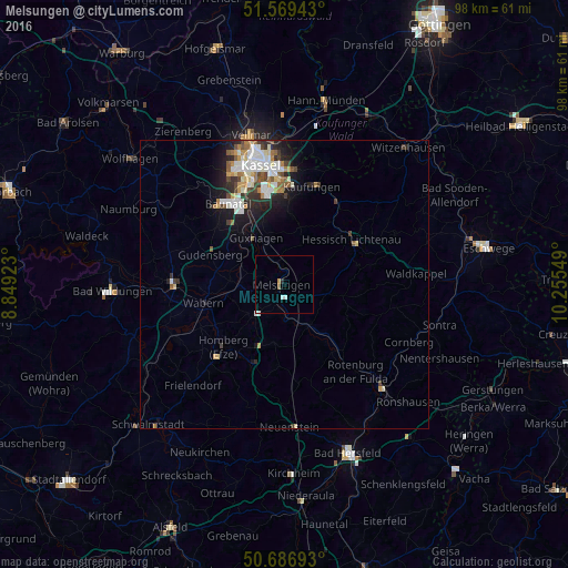
91.72%Clear (daylight) street map image can be seen on geolist.org.
Map coordinates:
51° 34' 9.9" North, 8° 50' 57.2" East
51° 7' 49" North, 9° 33' 8.5" East
50° 41' 12.9" North, 10° 15' 19.8" East
Some cities around Melsungen sort by population:
• Lohfelden
15.2 km =9.4 mi,  355°
355°
• Hessisch Lichtenau
13.9 km =8.6 mi,  56°
56°
• Felsberg
9.2 km =5.7 mi,  275°
275°
• Gudensberg
13.9 km =8.6 mi,  291°
291°
• Wabern
14.5 km =9 mi,  256°
256°
• Spangenberg
7.9 km =4.9 mi,  101°
101°
• Guxhagen
9.1 km =5.7 mi,  328°
328°
• Alheim
13.4 km =8.3 mi,  143°
143°
2872028 (p: 14,004)
Sources (retrieved 2019-11-25):
» Earth at Night: Flat Maps 2012, 2016